Citizen Science GIS,
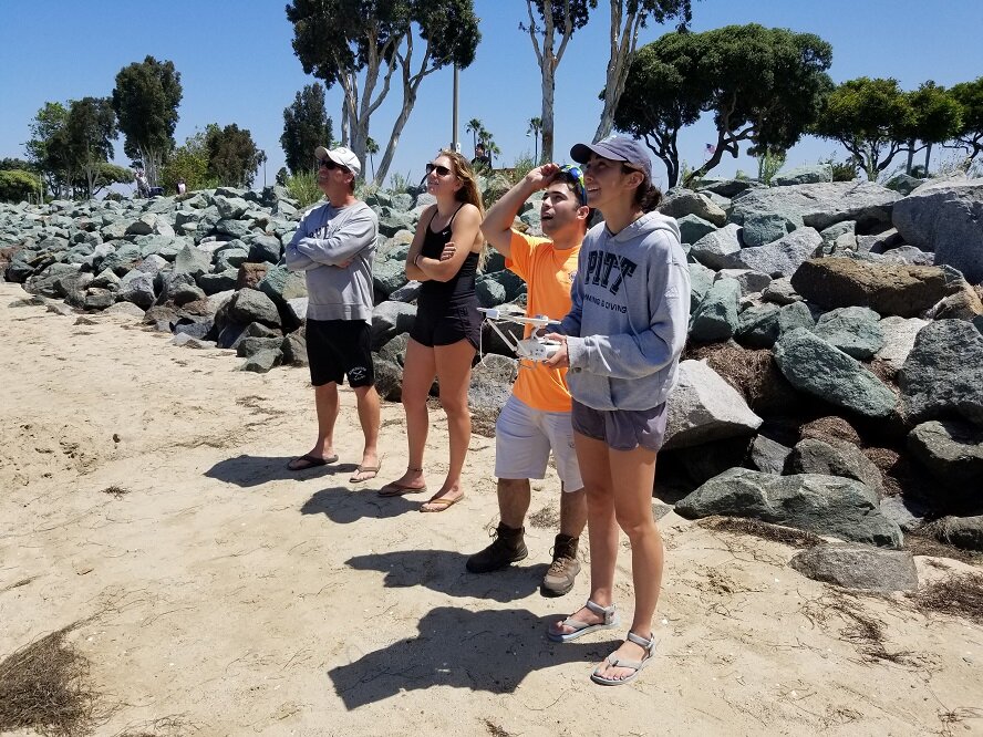
drones,
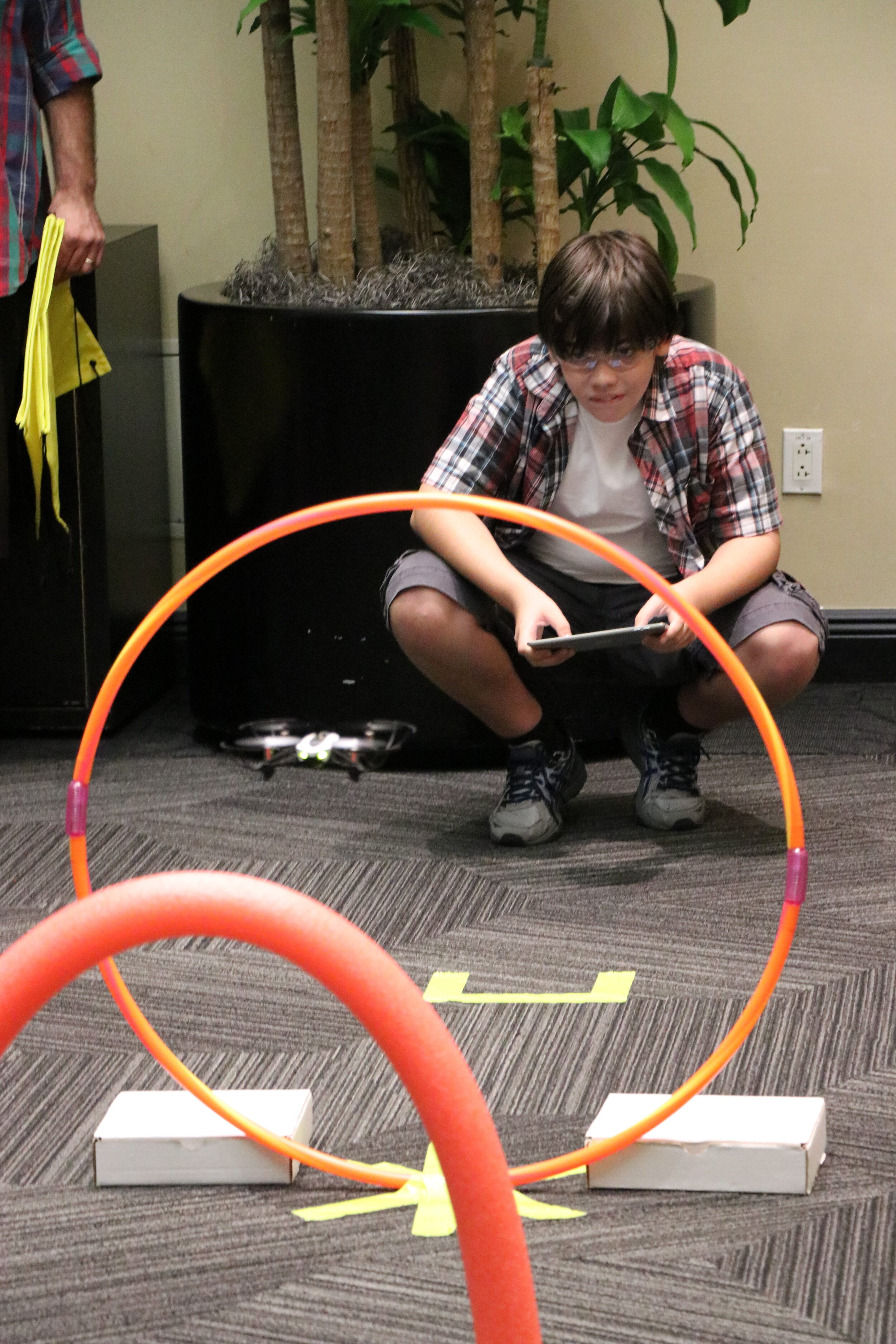
NSF eelgrass drone map...,
NSF REU & RET Site,
Open Reef,
Smithsonian MarineGeo,
STEM education
Hunter Searson
Citizen Science GIS,
drones,
NSF eelgrass drone map...,
NSF REU & RET Site,
Open Reef,
Smithsonian MarineGeo,
STEM education
Hunter Searson
Read More
Citizen Science GIS,
Coastal Connections,
drones,
Esri,
NSF eelgrass drone map...,
Open Reef,
Smithsonian MarineGeo
Dr. Bo Yang
Citizen Science GIS,
Coastal Connections,
drones,
Esri,
NSF eelgrass drone map...,
Open Reef,
Smithsonian MarineGeo
Dr. Bo Yang
Read More
Citizen Science,
drones,
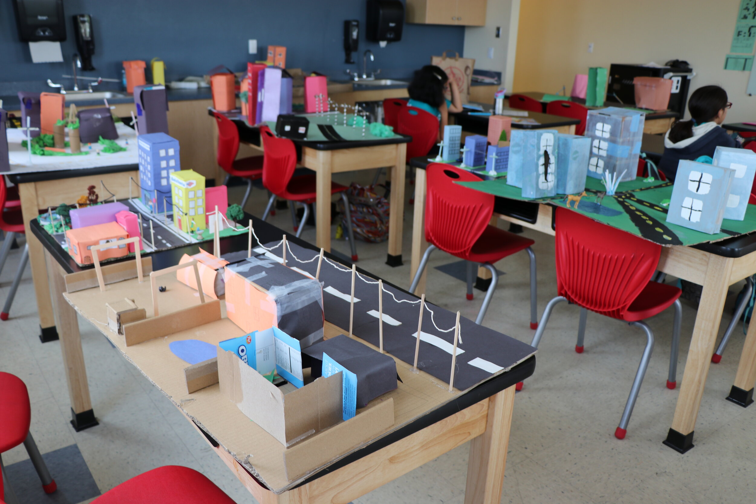
GIS,
GIS and Society,
Inspiration,
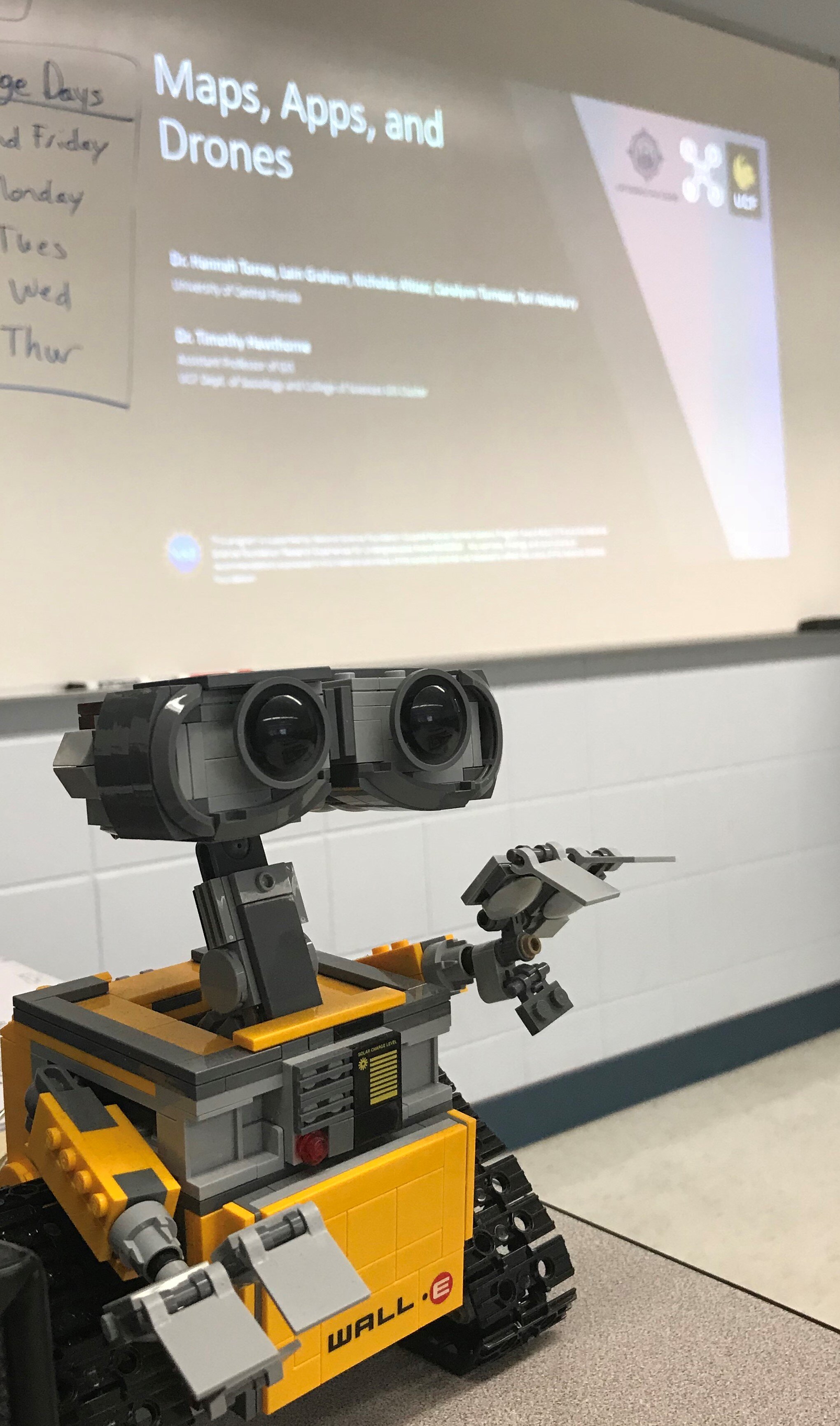
Maps Apps Drones Tour,
STEM education
Lain Graham
Citizen Science,
drones,
GIS,
GIS and Society,
Inspiration,
Maps Apps Drones Tour,
STEM education
Lain Graham
Read More
Citizen Science,
drones,
GIS,
GIS and Society,
Maps Apps Drones Tour,
STEM education
Lain Graham
Citizen Science,
drones,
GIS,
GIS and Society,
Maps Apps Drones Tour,
STEM education
Lain Graham
Read More
Citizen Science,
drones,
GIS,
Maps Apps Drones Tour,
Open Reef,
STEM education
Lain Graham
Citizen Science,
drones,
GIS,
Maps Apps Drones Tour,
Open Reef,
STEM education
Lain Graham
Read More
Citizen Science,
drones,
GIS,
GIS and Society,
NSF CNH,
NSF REU,
STEM education
Dr. Timothy L. Hawthorne
Citizen Science,
drones,
GIS,
GIS and Society,
NSF CNH,
NSF REU,
STEM education
Dr. Timothy L. Hawthorne
Read More
Citizen Science,
drones,
GIS,
GIS and Society,
Open Reef,
STEM education
Lain Graham
Citizen Science,
drones,
GIS,
GIS and Society,
Open Reef,
STEM education
Lain Graham
Read More
Citizen Science,
drones,
GIS,
NSF REU,
Open Reef,
STEM education
Dr. Timothy L. Hawthorne
Citizen Science,
drones,
GIS,
NSF REU,
Open Reef,
STEM education
Dr. Timothy L. Hawthorne
Read More