
Shingle Creek Elementary's Journey with Drones and GIS: A Maps, Apps, and Drones Tour Stop
Written by Undergraduates Sara Peluso (Environmental Major), Carolynn Turneur (Biology Major), Pahola Zamora (Anthropology Major)The Citizen Science GIS Team took the maps, apps, and drones tour to Shingle Creek Elementary on April 5th. Our time was spent with 12 awesome students in the school’s National Honor’s Society! These students were the best of the best, all were 4th and 5th graders who had scored 4’s and 5’s on all of their FSA’s. Our visit was to show these students what GIS is, and how they could apply it to almost all of their interests! We were able to make there day by showing them how science can be fun, and, of course, by letting them fly drones.It was an awesome surprise when we got to the classroom to see that the students had made THREE models for the workshop on their own! Each model was made by a handful of students who used materials found around their school, and each group was able to fly a drone over their community. We put all of the models together to simulate a hurricane and took aerial views of the massive community after the disaster had struck.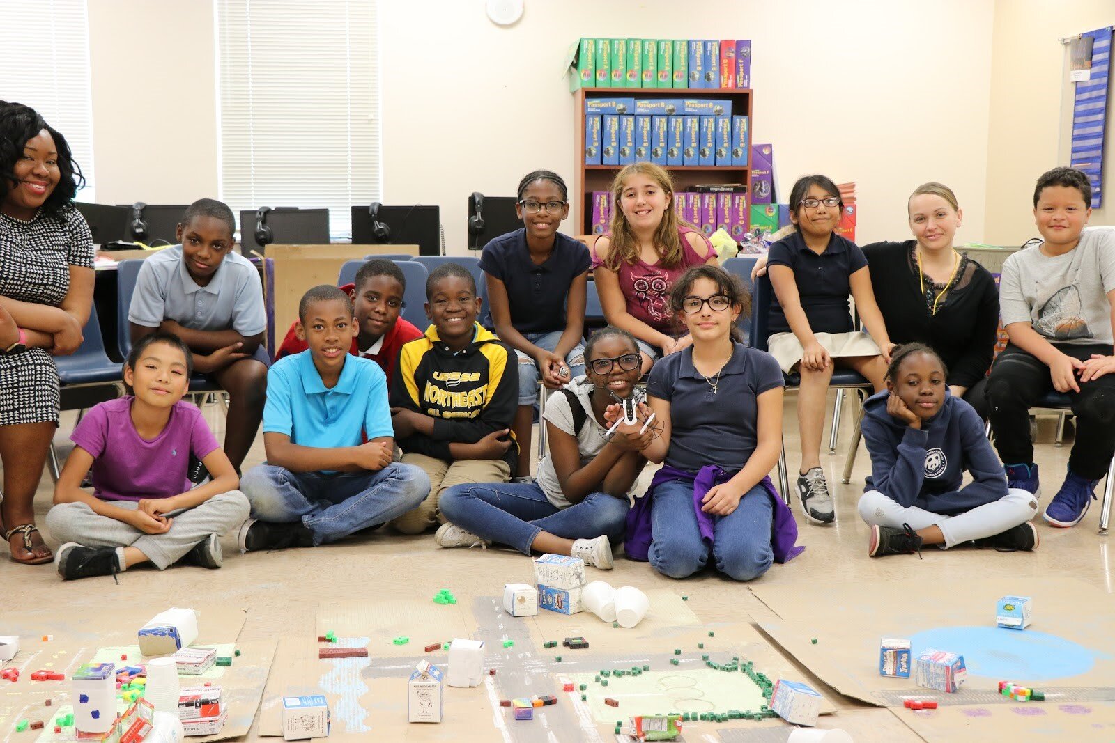 Our team discussed the importance of working with local communities and communities across the world to collaborate with them on local projects using drones and GIS. Students understood the advantages and disadvantages between drone imagery and satellite imagery, how the images were taken from an aerial perspective, analyzed, and distributed in order to provide up-to-date, high-resolution imagery to organizations and local communities.
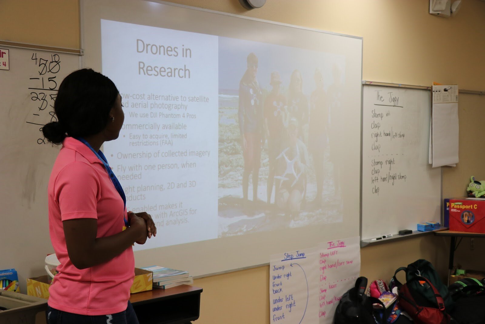 Students were very quick to answer questions about disaster relief initiatives in relation to drone imagery. Drone imagery can be a very effective method for emergency personnel when disaster strikes, but before personnel can help they must analyze the scene in order to be efficient. The hands-on learning experience enables students to perform their own data collection with the mini-drones.There are many exciting careers in GIS! A few careers the students mentioned were: Computer Science, Doctor, and a Pilot. Our team explained to the students how GIS can be used in their careers. Very cool!
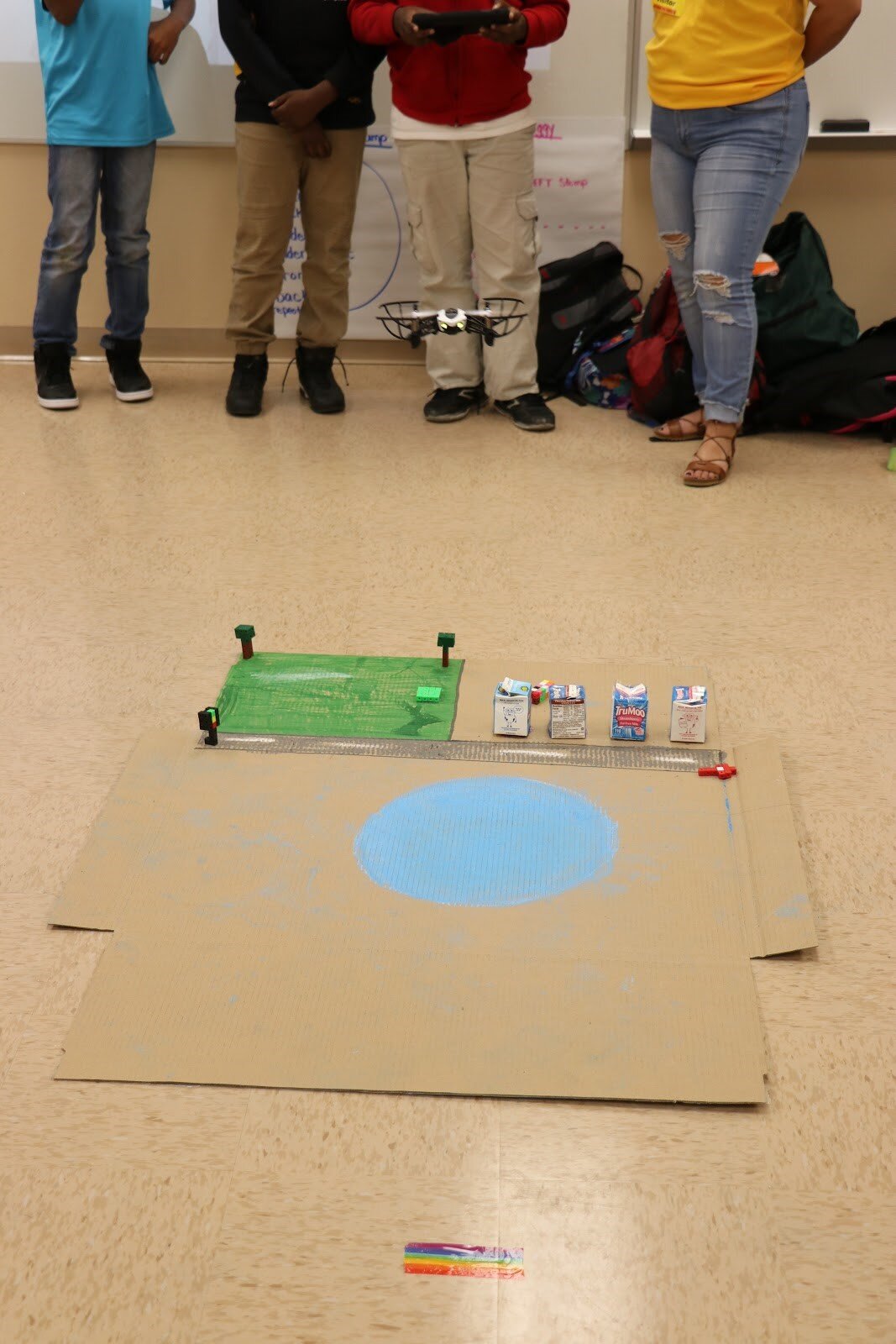 Lastly, it was time to FLY! The students created three different community models in their respective groups and each student had time to fly over their community & capture aerial images. There were moments when the mini-drone was not in the direct path of the community, but it only goes to show that this line of work can be met by obstacles such as wind, rain, battery life, drone defects, etc. trial and error is the only way to truly succeed in all walks of life.The Citizen Science GIS Team had a wonderful afternoon with the students of the National Honor’s Society at Shingle Creek Elementary. Not only did we teach them what GIS is, but how they could use it in their everyday lives. It was a true pleasure to see the excitement on the student's faces since it was the first time most of them ever flew a drone. We would like to thank the teachers, principle, and staff at Shingle Creek Elementary for allowing us to come speak to their students to encourage them about science. We hope to continue to enlighten every student we come across with during our Maps, Apps, and Drones Tour about the power of science to help them construct their own path and future careers. If you are interested in our tour coming to your school, please let us know!