
Orange County Utilites
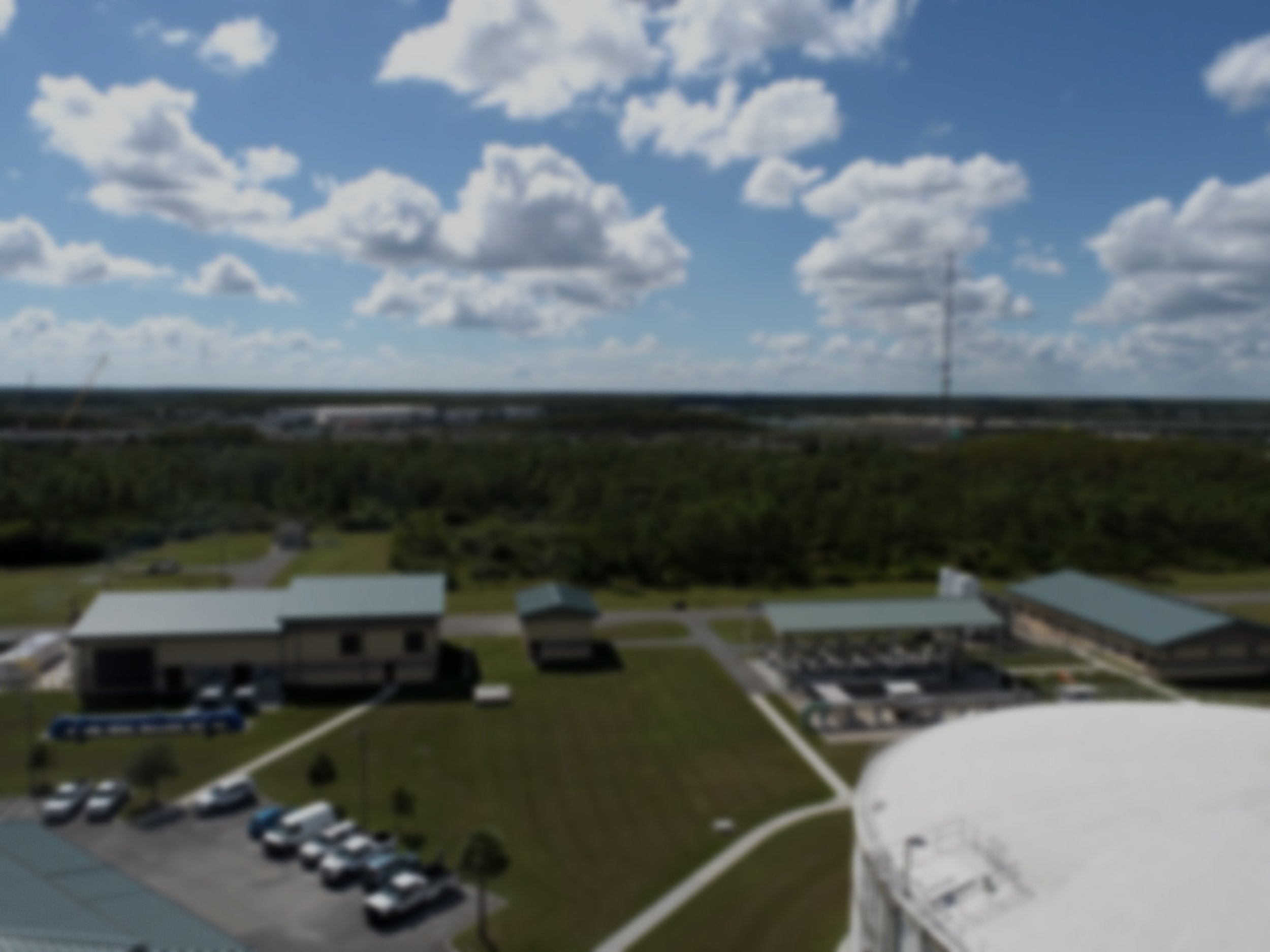
Complex orthomosiac construction of Orange County’s water utility infrastructure
About the Project
Collaborating with Orange County’s water utility department to map, analyze, and construct high-resolution orthomosaic imagery of integral infrastructure with educational components.
Impacts of Drones
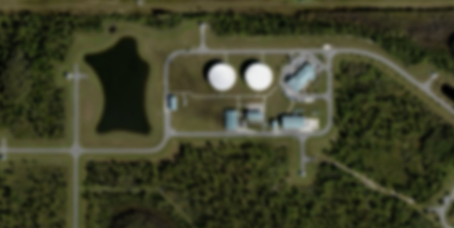
Using affordable, consumer-level drone technologies for environmental monitoring and analyses is a cost-effective and time efficient solution that can open up data, create shared partnership opportunities, and improve data quality.
Drone
Resolution:
3 - 5 cm
Commercial
Satellite Resolution:
500+ cm
Goals of the Project
In partnership with Orange County Utilities, our drone team works to support:
1.
Safety
Live and high-quality aerial feeds can provide real-time inspections eliminating the need of staff to conduct potentially dangerous in-person inspections.
2.
Inventory Assessment
Drones can be flown in a cost-effective manner in a near on-demand setting such as after major emergency event like hurricanes.
3.
Education
Imagery, workflows and fieldwork processes from the project support a learning station on the GeoBus to support science’s next generation.

The Educational Component
Since this contract opportunity began through a collaboration focused on STEM education with a local middle school robotics team in conjunction with Citizen Science GIS and Orange County Utilities, we engage in broader, education impacts as well as research results.
The Citizen Science GIS team is committed to public scholarship and STEM education. When permissible the team will utilize imagery and processes from the contract to support a learning station on the Citizen Science GIS GeoBus (a mobile STEM education platform for K-12 schools in Florida). A small portion of the technology support budget will allow for resources and student staffing to support the GeoBus learning station.
This supports the public scholarship mission of Citizen Science GIS by inspiring future scientists in the use of drone technologies for research. The learning station will focus on the use of drones to manage and analyze utility sites and other fieldwork processes.

GeoBus connections
As part of the partnership with Orange County Utilities, we work collaboratively to create learning activities on and around GeoBus to support science’s next generation. This includes our mini-drone flight zone outside the bus, and some developing online mapping projects for our 55” interactive geovisualization wall on GeoBus. Learn more about GeoBus at UCF.