
Taking Flight at Eagle Creek Elementary through Citizen Science GIS Maps, Apps, and Drones

Citizen Science GIS Eagle Creek Event Team: GIS team Sociology and GIS M.A. Student, Nicholas Altizer, Pre-Med Undergraduate and Carolynn Turneur, led by Sociology and GIS Ph.D. Student, Lain Graham.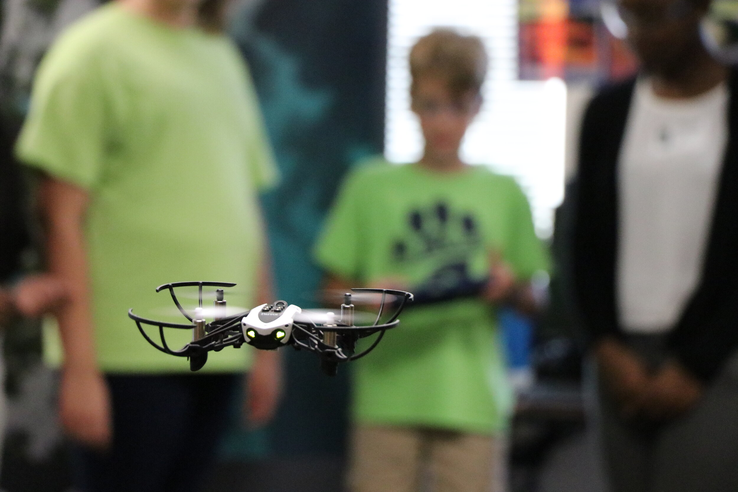 Twenty-one, 5th grade students at Eagle Creek Elementary had the opportunity to learn about the power of GIS and drones on Tuesday, October 10th, 2017 as part of the free Maps, Apps, and Drones Tour with Citizen Science GIS at University of Central Florida. After attending our inaugural Maps, Apps, and Drones teacher workshop in June, Ms. Angela Roller a teacher of Eagle Creek Elementary invited our team to her school for her students to take part in the fun, hands-on activities. Students were fully engaged in learning about the impacts of natural disasters and how drones are being used as a low-cost, time sensitive solution to better map their effects. This lesson was designed to put the students in the pilot seat, having them fly the drones over mini-landscapes. This activity encourages peer-to-peer learning, and challenges students to critically engage with the material, working together to create safe and effective mapping strategies that simulate real life before and after flights of an area impacted by natural disasters.
 Ms. Roller’s class set the bar with the creation of four mini Lake Nona area townscapes. These model cities were thoughtfully crafted from re-purposed materials and represented notable landmarks within the Lake Nona area, including some favored establishments like Nona Sushi. These 5th graders thought of everything from roads, to street lights, sidewalks, buildings under construction and structure material vulnerability. Their models fell victim to a simulated hurricane as groups of children converted their team’s model into a post-disaster scene.
 The Citizen Science GIS team engaged students in a critical discussion on the differences between satellite and drone imagery and the many uses of drone technology to address real world problems such as natural disasters. With the millions effected in Florida, Texas, and the Caribbean by hurricanes, this proved to be a timely exercise in how drone imagery can be used to quickly and efficiently provide a bird’s eye view to assess the disaster’s impacts on the landscape. After a drone safety briefing, Ms. Roller’s students used tablets equipped with the FreeFlight Mini app to control the Parrot Mambo mini-drones. The students excitedly lined-up to fly the Mambo mini-drones over their models. After practice flights, and some trial and error, the students earned their wings by mapping the pre-disaster scene to collect the before imagery. They carefully took turns flying over their models, and answered questions about the process. Students then excitedly converted their models to post-disaster scenes by knocking down trees and tearing-the-roofs off buildings for the post-disaster model flight. The day was finalized with questions relating to the noticeable differences and how students might use drones in other areas.
 “We enjoyed the lesson on drones and having the opportunity to fly one ourselves. I thought it was very interesting learning about orthomosaic pictures and how drone pictures have more clarity than satellite pictures.” – Alexandra, 5th grader
 Check out a mini-drone flight in action!Eagle Creek Elementary was one of the many stops on the Maps, Apps, and Drones Tour scheduled this year. If you are interested in having the Citizen Science GIS team bring this fun and engaging curriculum to your school, please contact us! Email us at partner@citizensciencegis.org if you want your school to experience the fun and creativity!