
Young Citizen Scientists Shine at Lyman High School
The Maps, Apps and Drones tour went to Lyman High School in Longwood and it turned out to be a genuinely maptastic success.
Around 80 high school students participated in multiple activities, including a Parrot Mambo mini drone obstacle course, a sustainability app and a Sphero Bolt. Through these activities and an interactive pre-event discussion on maps, apps and drones, students were able to gain a deeper understanding of the importance of GIS and geospatial technology.

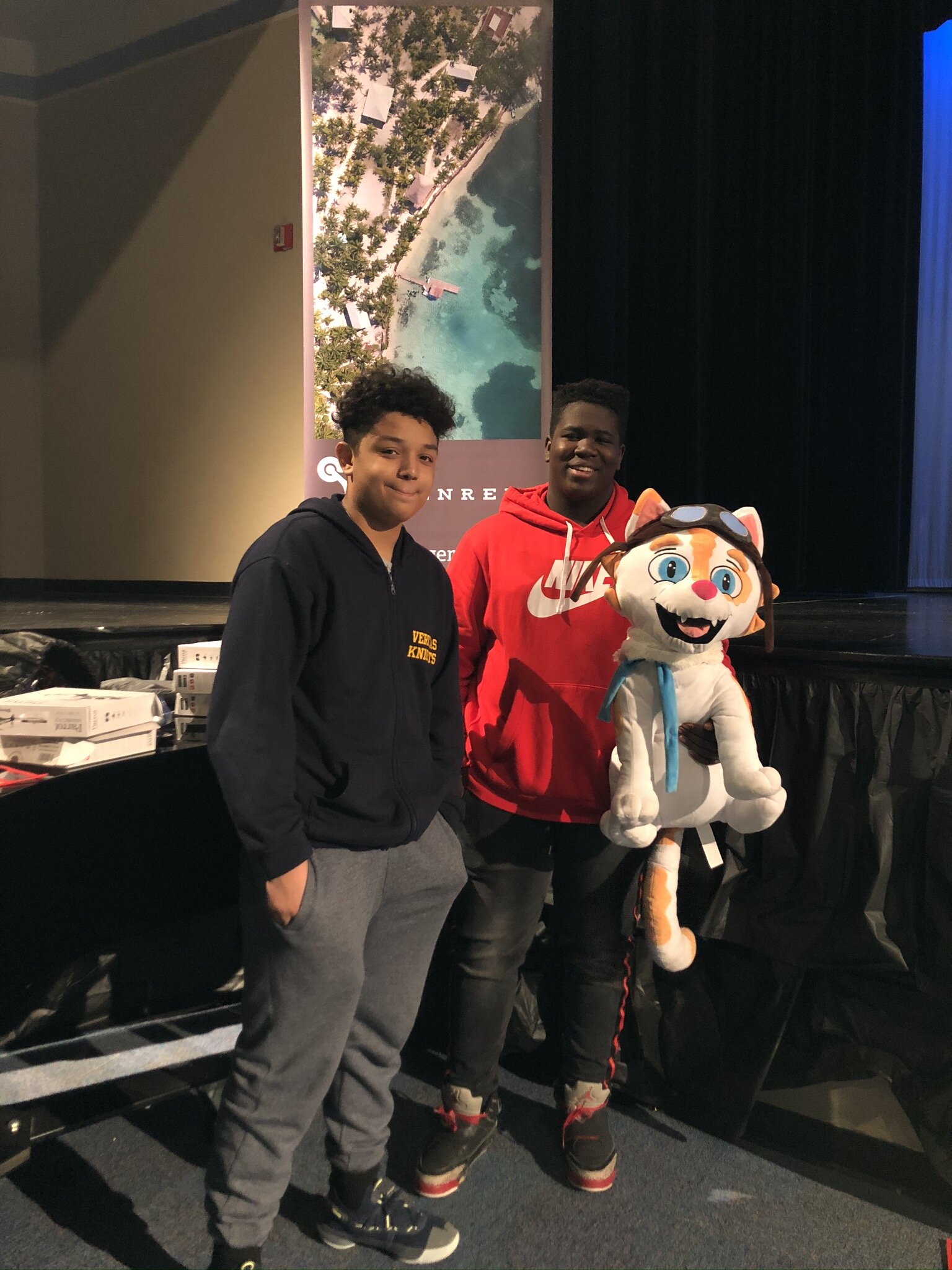
Drone Cat
At the drone obstacle course, students enjoyed testing out their piloting abilities in trying to maneuver drones through a variety of hoops and tables. Additionally, student made use of the Sphero Bolt robot, which teaches users the fundamentals of block-coding, in an interactive navigational activity.
Students also mapped sustainability on their campus using the Sustainability app, contributing to the growing number of data points for sustainable locations that have been mapped by schools throughout Florida.
We are looking forward to an exciting 2020, with many great things on the horizon, like our one of a kind GeoBus. Stay updated on Instagram, Facebook, Twitter and LinkedIn.