Open Reef
Exploring the Mesoamerican Reef in Belize with drones & spatial storytelling

About the Project
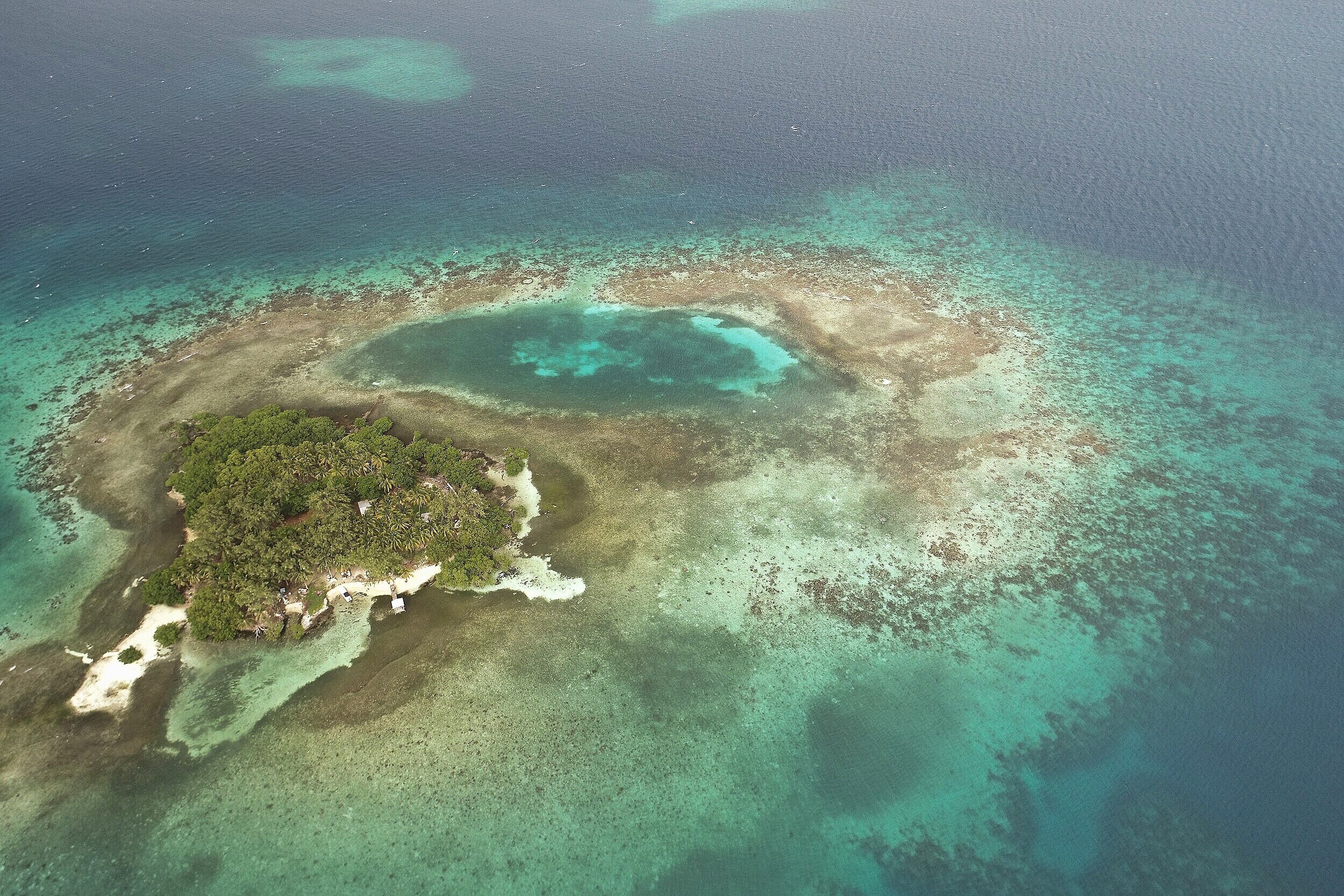
Open Reef launched in 2016 in the Central American country of Belize, home to the second largest reef system in the world. We have successfully drone mapped and processed nearly 150 islands and coastal areas in Belize. Our innovative methods help protect and conserve the world’s most beautiful and vulnerable coastal environments.
Why Our Drone Mapping Matters
The lack of freely available, high resolution aerial imagery and related location-based data of vulnerable island environments around the world make it difficult, if not impossible, to develop:
1.
Informed decisions through environmental impact assessments and ecosystem services valuations
2.
Sustainable tourism and educational marketing strategies to highlight the beauty and attractions of islands
3.
Informed decision-making related to disaster management and evacuation of the world’s most vulnerable island populations
Research Question
This work is guided by two key questions:
If you can’t clearly see vulnerable island environments, how can you begin to understand these places?
What new knowledge can be gained from citizen scientists as they view high resolution imagery of their environments?

Open Reef Goals
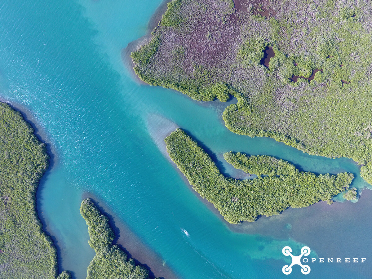
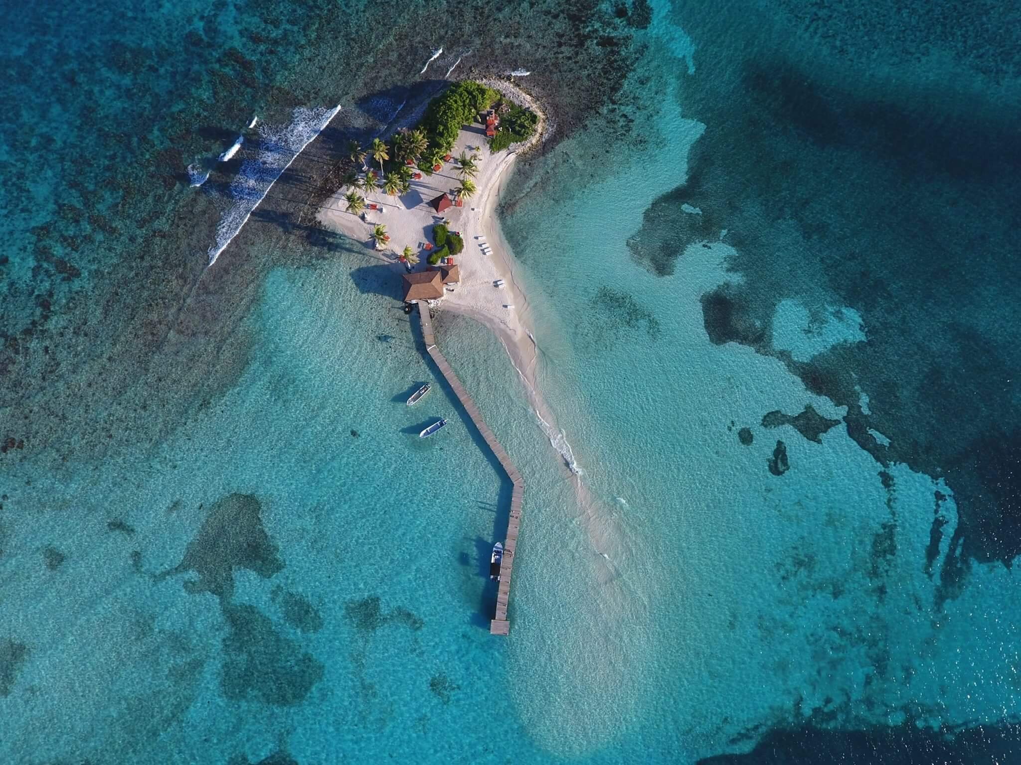
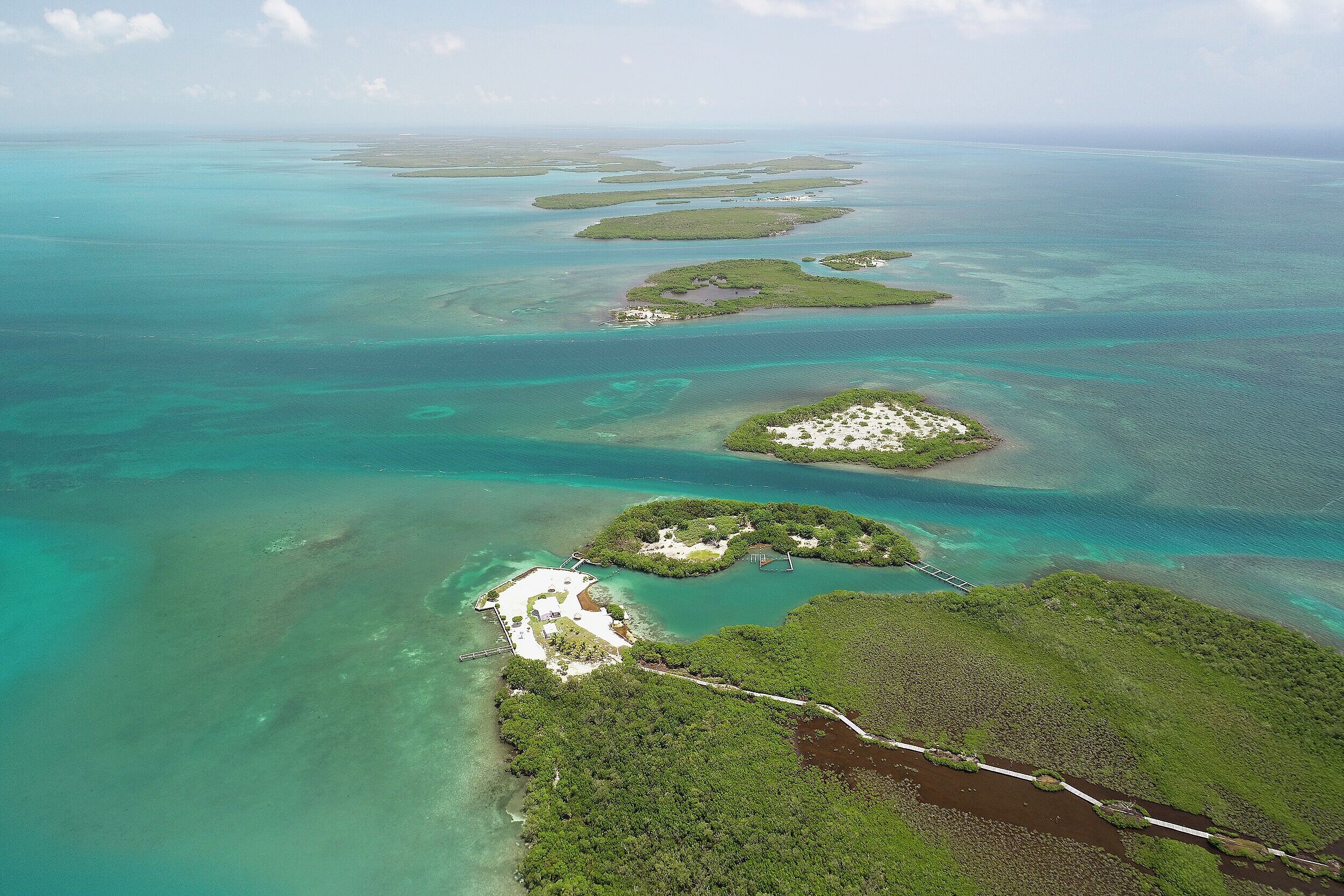
We create open and freely available high resolution drone imagery of coastal and island environments.
All imagery is shared on Esri ArcGIS Online. Individual mosaics are available for download by request.
Flights create sub-meter resolution imagery on demand
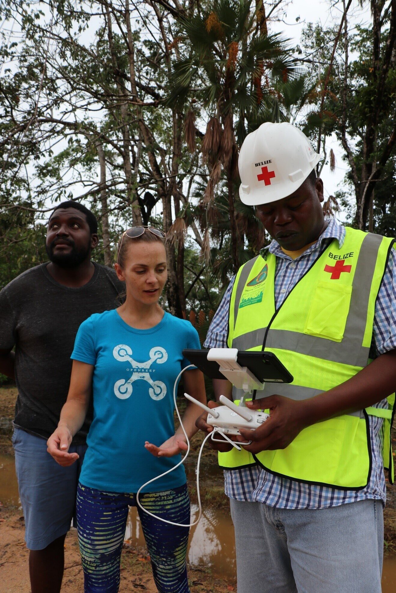
We provide free training in our field methods to individuals and non-profits.
Our training resources are shared freely to broaden participation in science and to encourage innovation and collaboration.
We’ve trained several organizations and individuals in drone operations, exam study guides and safety.
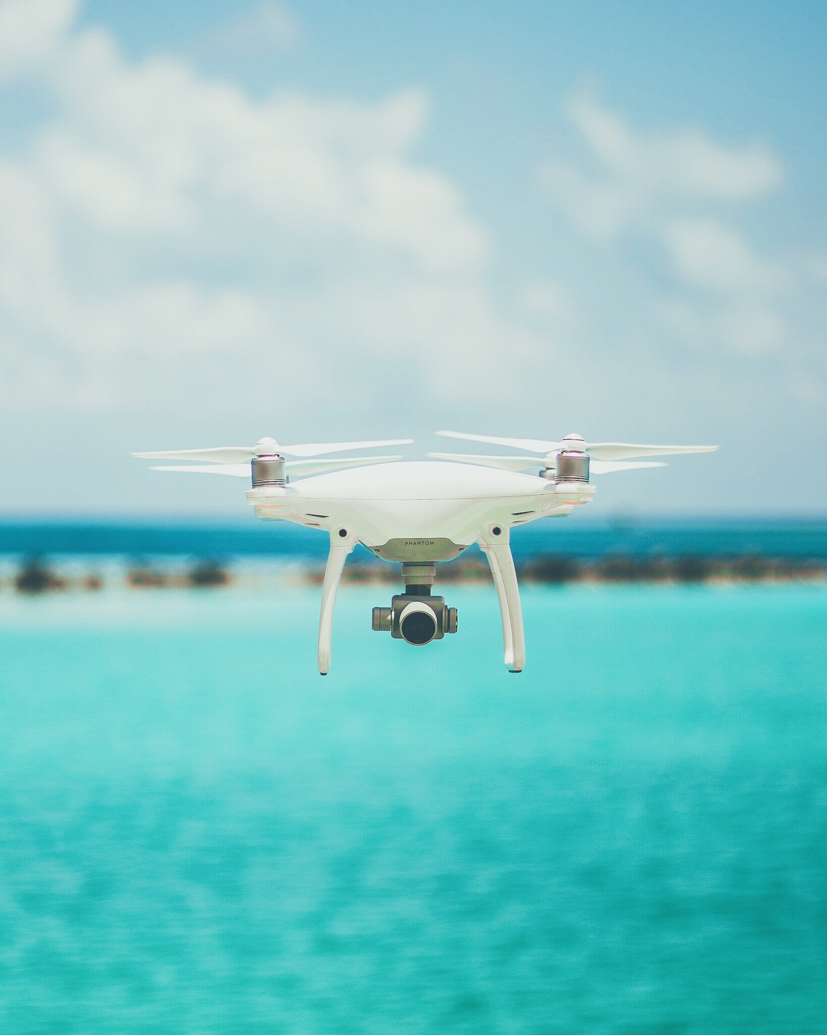
We use off-the-shelf consumer quality drone solutions for ease of use by novice, citizen scientists.
Our drones are easy to use out of the box and affordable compared to other more expensive scientific drones. Most of our our fleet range from $400 to $2500 in cost.
We use freely available flight planning applications.
Impacts of Drones
Using affordable, consumer-level drone technologies for environmental monitoring and analyses is a cost-effective and time efficient solution that can open up data, create shared partnership opportunities, and improve data quality.
Open Reef’s drone strategies are open, accessible and affordable. They open up the possibilities of science and society working together.

Reaching New Heights with Open Reef
With researchers and citizen scientists working together, we have drone mapped over
150
coastal and island communities since 2016.
We provide high resolution views of complex environments.
3-5 cm
resolution for most Open Reef projects.