Open data of the Belize Barrier Reef islands

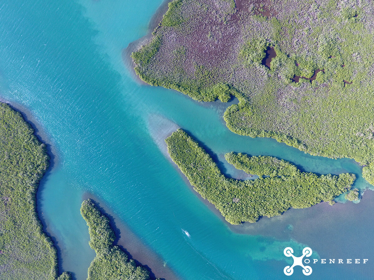
Did you know? Our first batch of the Belize Barrier Reef islands drone mapped with DJI Phantom 4 drones and processed with Esri's Drone 2 Map, is now up online on ArcGIS Online. Just search using the tag openreef on ArcGIS Online. More islands and the related digitized GIS data are coming soon. We're off to Belize to map Turneffe Atoll starting this weekend, and will have many more islands up soon. We're also working on an Esri Open Data Site to host all of our data as well. We're taking off to promote open data, citizen science, and discovery. Together, everything is possible. Please share with your pals using #openreef and #citizensciencegis