
Open Reef Chapter 1 Story Map of Belize Barrier Reef Now on ArcGIS Online
We are pleased to share "Chapter 1: Beauty from Above" from the Open Reef Mapping Society now live on Esri #storymaps on #arcgisonline. Click on the story map of Belize below to view our work! Share with your friends and join the movement to #drone map all of the #Belize Barrier Reef Islands with DJI phantom drones to create an #opendata, free #mapping platform to stimulate #citizenscience and #discovery. #citizensciencegis #openreef. The story map was created by Christine Munisteri. Look for next chapter of Open Reef coming soon.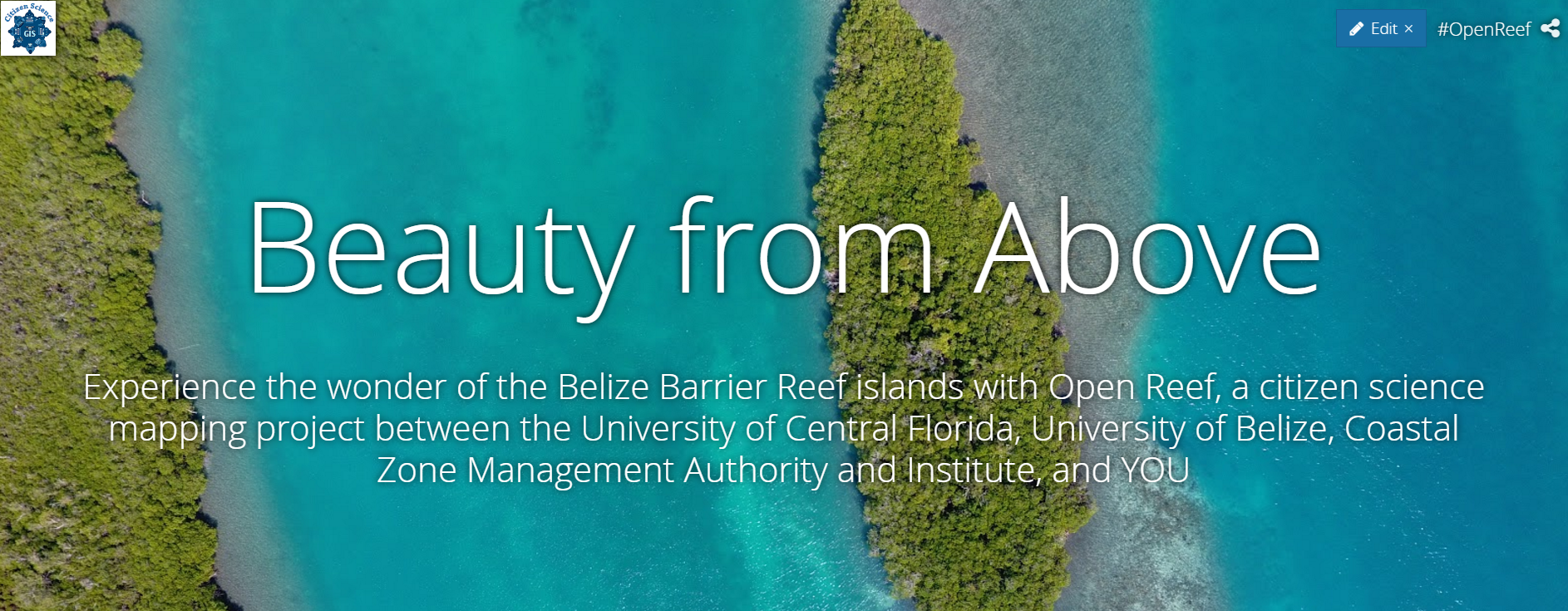 We are also pleased that Esri has featured our work on their story maps cascade template gallery.