
Four project templates in Drone2Map
Esri Drone2Map for ArcGIS is a GIS-based software that conveniently takes raw drone imagery and converts it into 2D and 3D maps. The first step in producing mapping products through Drone2Map is creating a project template. We will explain each template and illustrate it's application.
In this tutorial, we are going to generate a quick result for each of the templates to help our friends understand each template.
First, open the Drone2Map program, then select one of the 4 templates and click "Create".

Fill in the name you want your project template to have under "Give Your Project a Name". Then scroll down below the Source Imagery section, click on "Add Folder" and find the file containing the drone collected images.
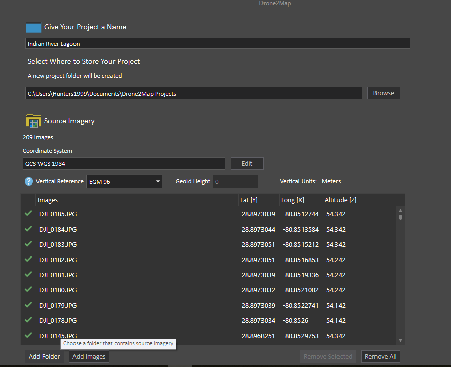
Lastly, select "OK" and the program will present you with your mapped drone imagery.

There are 4 project templates to choose from: rapid, 2D Mapping, 3D Mapping, and Inspection. Usually, rapid template is used for a quick process of drone imagery on the field to get a overview of orthomosaic image quality; 2D mapping can provide additional maps such as NDVI for more comprehensive analysis; 3D mapping is used for 3-d visualization of the area; inspection template is used to generate more in-depth information about the study area.
Rapid: This template is used in the field to create a low resolution model within a very short amount of time. It allows the user to verify whether or not their drone collection was successful before attempting to process higher quality mapping products. The example below is an orthomosaic generated by the rapid template.

- 2D Mapping: This template is designed to create an accurate, high resolution orthomosaic, elevation model, or normalized difference vegetation index (NDVI). Unlike the rapid project template, the 2D template is able to create NDVI maps, which measure the greenness and healthiness of vegetation. Our NSF eelgrass mapping team uses NDVI mapping to obtain and analyze information on eelgrass meadows (to find out more about this check out Dr. Bo Yang's post on Multi-spectral drone mapping fieldwork in Indian River Lagoon). The example below is an NDVI map generated by the 2D template.

- 3D Mapping: This template allows for multidimensional spatial analysis of an area's buildings and terrain. 3D models of project sites can provide the user with accurate estimations and useful visualization. The image below is an example of a low quality 3D textured mesh generated by the 3D template.

- Inspection: The Inspection template can be used to quickly view imagery of an object from any angle without changing its original resolution and is often used to inspect a buildings infrastructure. Inspection, unlike the other three templates, does not require processing. Below is an example of inspection through the Drone2Map image viewer.

Now that you know about each type of project template in Drone2Map and when to use them, all that's left to do is to create your own and get start on mapping!