Debris mapping with Ocean Academy, day three update
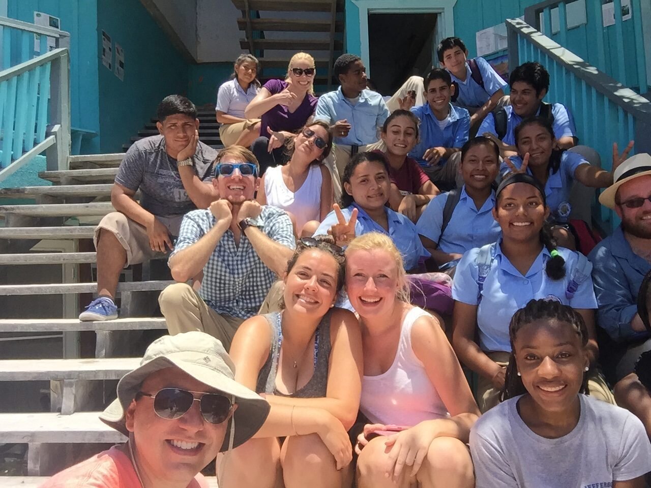
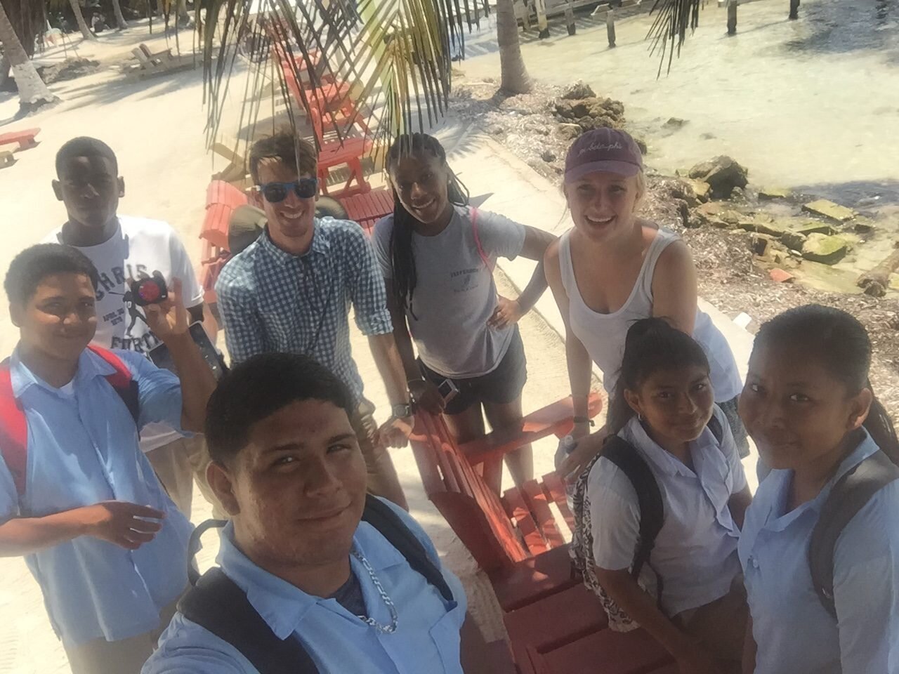
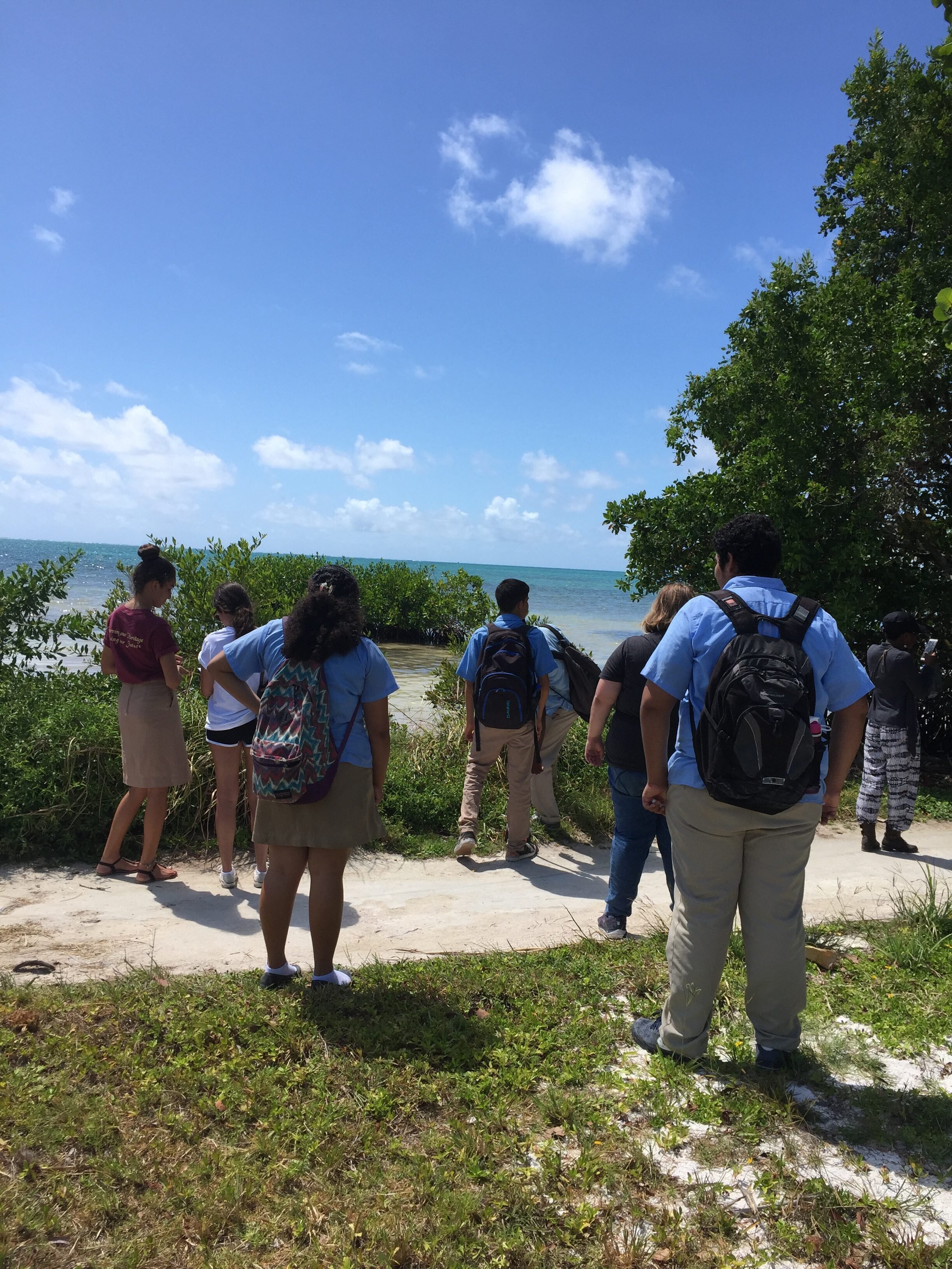
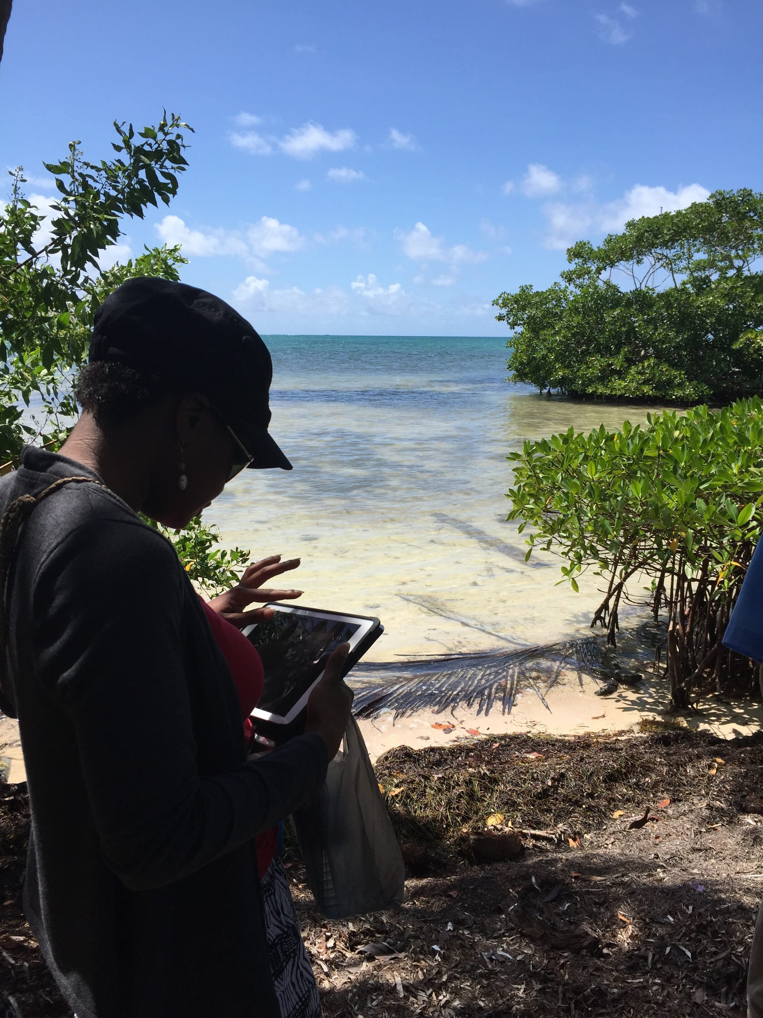
 Here's an update on yesterday, day three, from first year undergraduate student, Taylor Hanus!--With an early start to the day, we began by heading over to the Ocean Academy to meet with students who were helping us collect data. It’s safe to say that everyone was excited for the first day of data collection. After some introduction, we headed out to the shore. By using a GPS tracker, the Collector app on an iPad, and a pace counter, we were able to gather information about the marine debris on the island. We looked for attributes such as quantity, type, and how weathered it looked. By being able to split into groups, we were able to cover a lot of area. However, once the students left for lunch, we were able to cover even more area of the island. Some students even utilized kayaks to cover less accessible parts of the island.Along with mapping the debris, we talked to both locals and tourists about their opinions of the debris. As a general consensus, most people were concerned about the debris, and were interested in finding a solution to this issue. This day of fieldwork was definitely eye opening for us students. Being able to interact with the students, locals, and tourists added an irreplaceable quality to the day. It’s safe to say we all returned to the hotel with data, stories, memories, and sunburns.


