STEAM Outreach
Inspiring Science’s Next Generation

Youth are the future of science. And the future is strong.
Since 2017, we have served over 10,000 youth, teachers and families in free educational outreach events. We provide schools, libraries and community centers with interactive learning opportunities (including virtual opportunities during COVID-19) with activities driven by in-demand STEAM technologies. All lessons are connected to educational content standards.
The Maps, Apps & Drones Tour (Now Retired)
STEAM Outreach at Your School or Event
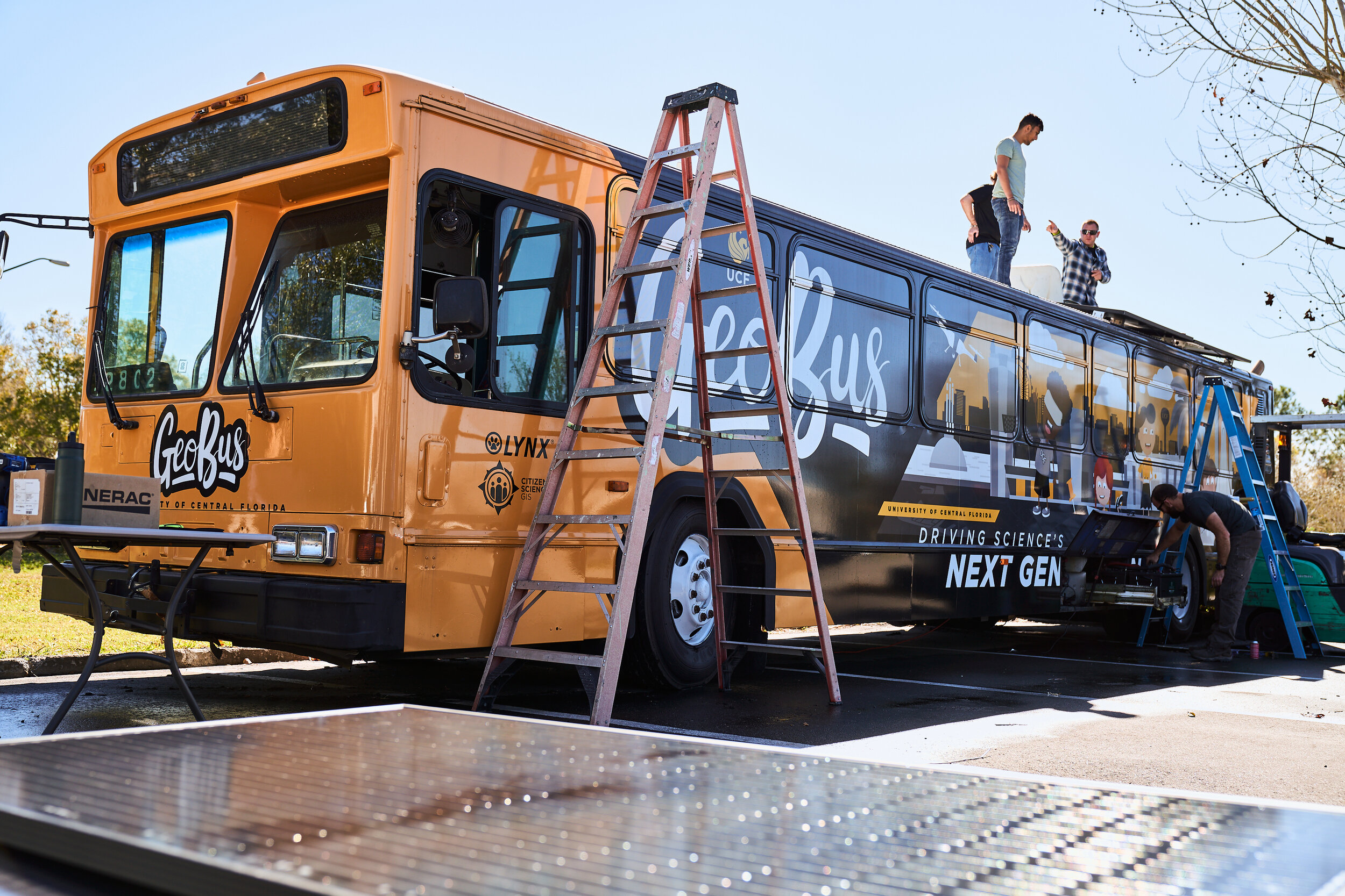
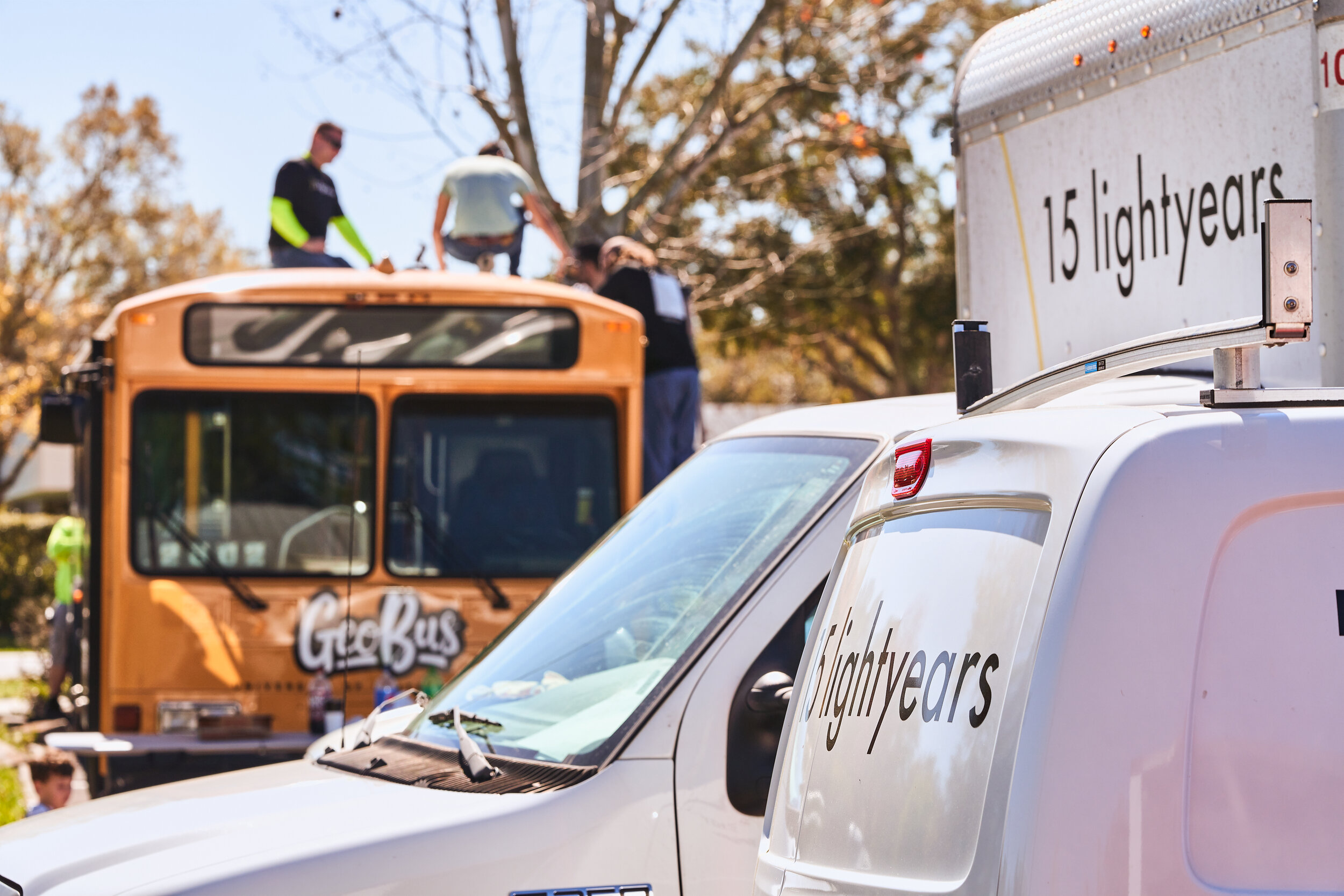
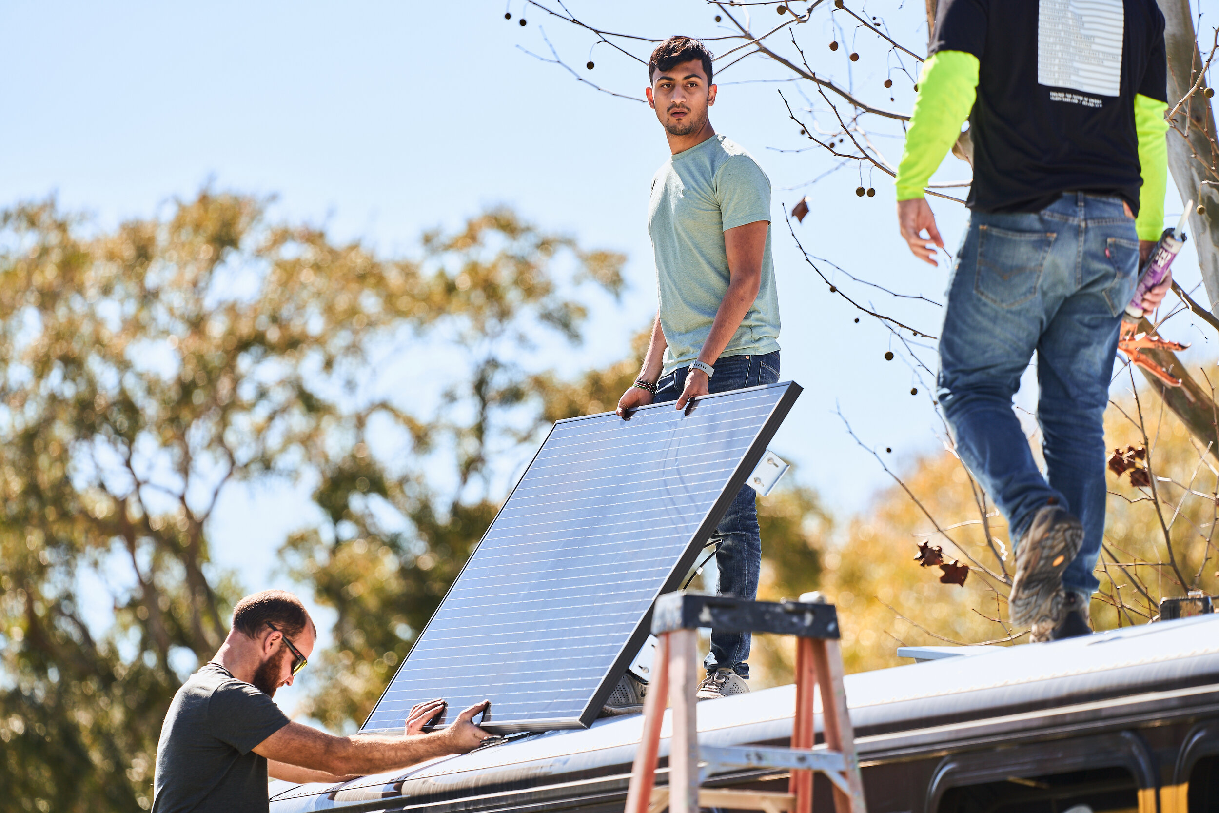
The GeoBus at UCF scales up and replaces our Maps, Apps and Drones Tour in a big way on a 40 foot city bus with a mobile learning lab powered by the sun.

Getting Started with In-Demand Technologies
We use mapping technologies every day without even realizing it. Most phone apps ask for your location and change information based on location. These geospatial technologies represent one of America’s fastest growing technology sectors according to the U.S. Department of Labor.

About Our Tour
Youth engage with fun, hands-on science and technology using maps, apps and drones. We fly and build mini-drones, launch crowd-sourced mapping apps, engage in real-world problem solving, and collect real data as citizen scientists.


Inspiring Future Paths
We connect youth with UCF faculty, staff and students.
We inspire youth to believe in their talents and to reach new heights.

Experience Our Activities
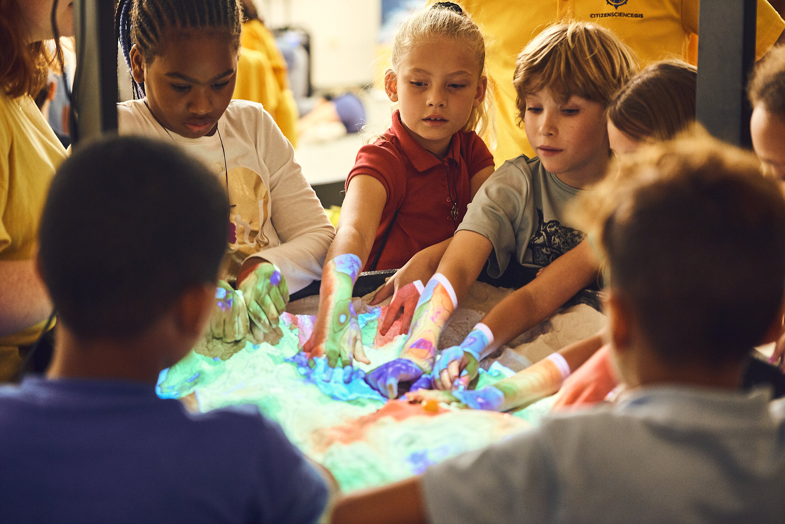
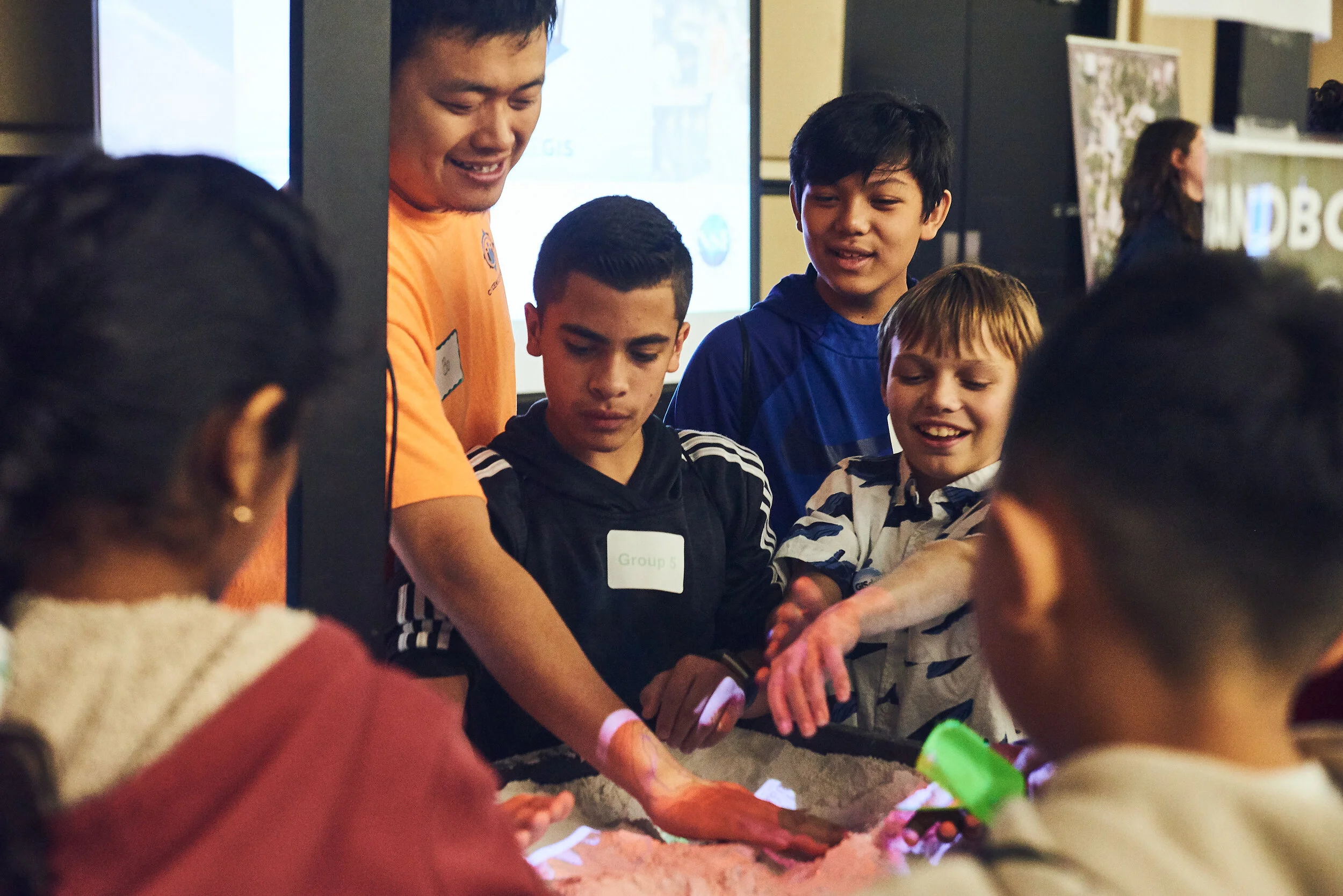
Sandbox Science
Students use a 40-inch by 30-inch augmented reality sandbox connected to 3D visualizations that project elevation, water, and topography over kinetic sand. Projected images change as students mold sand to create a virtual landscape.
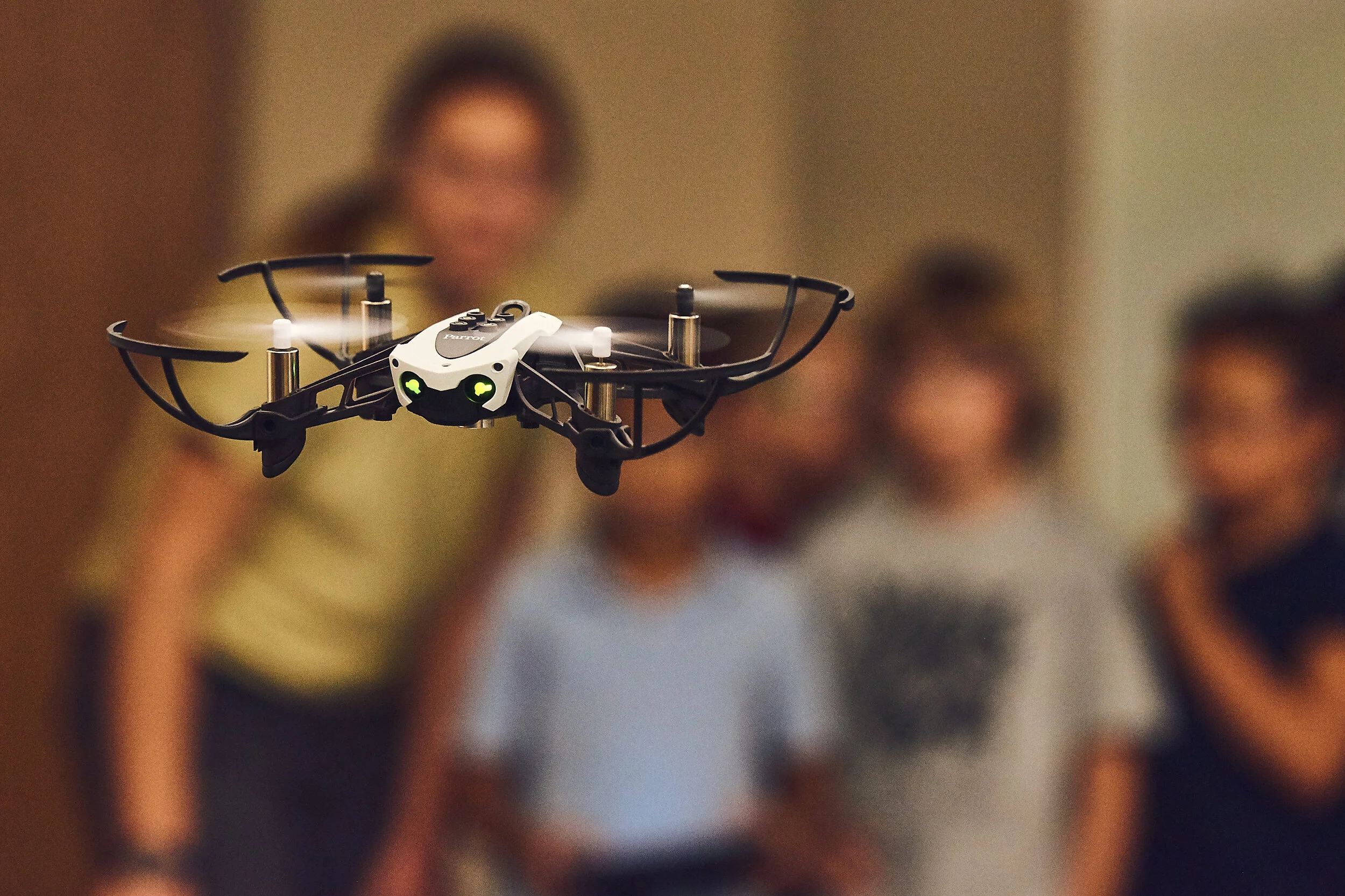
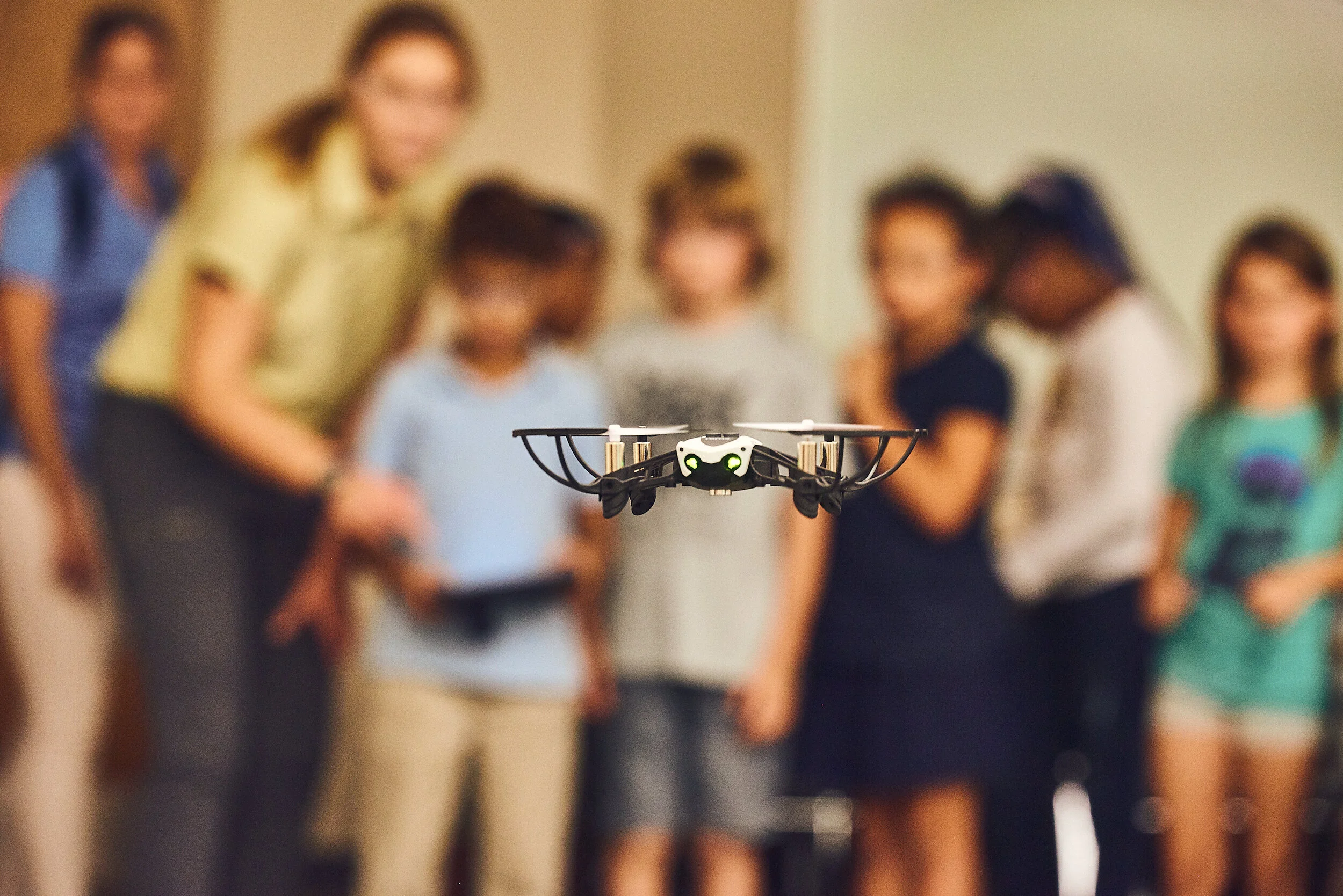
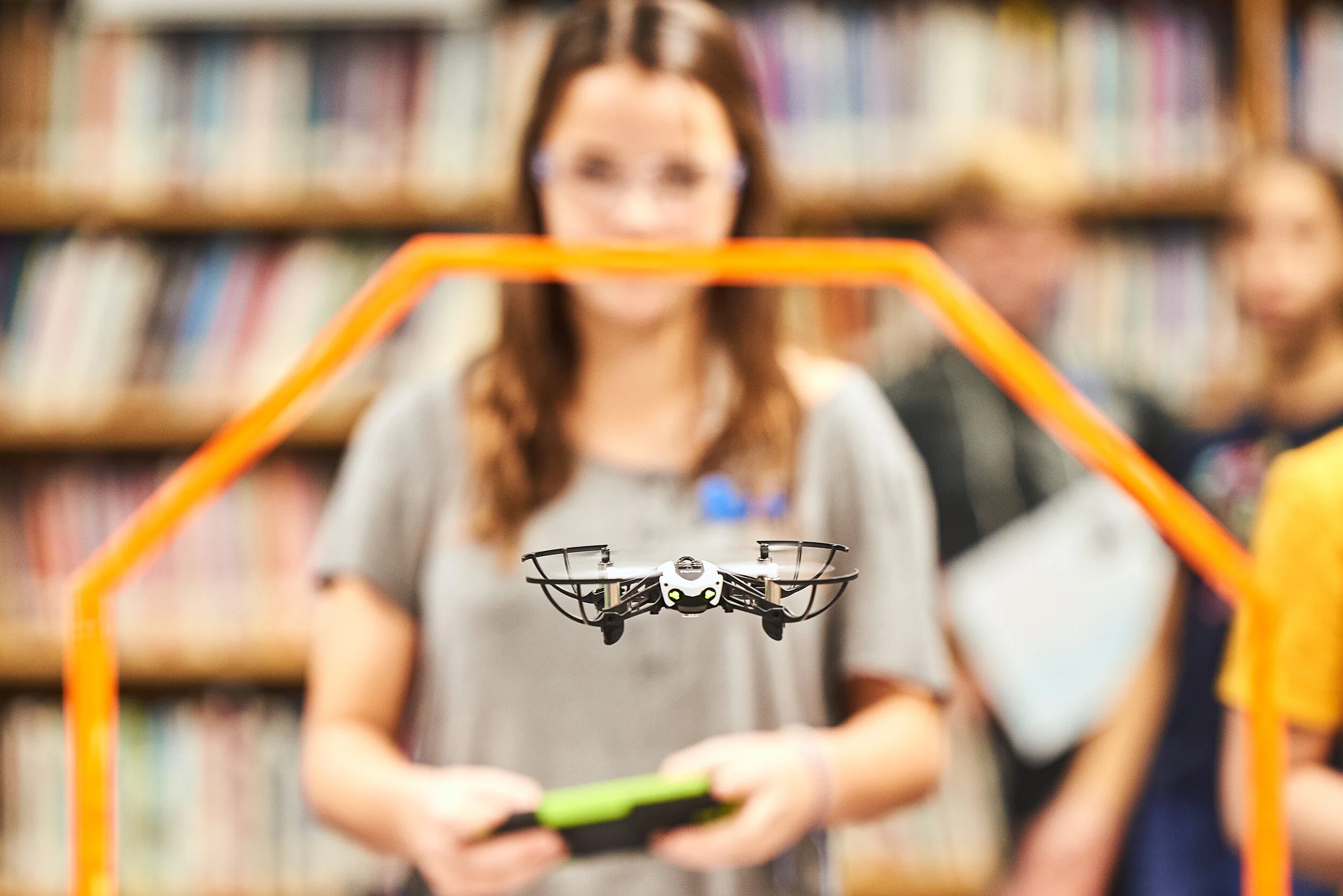
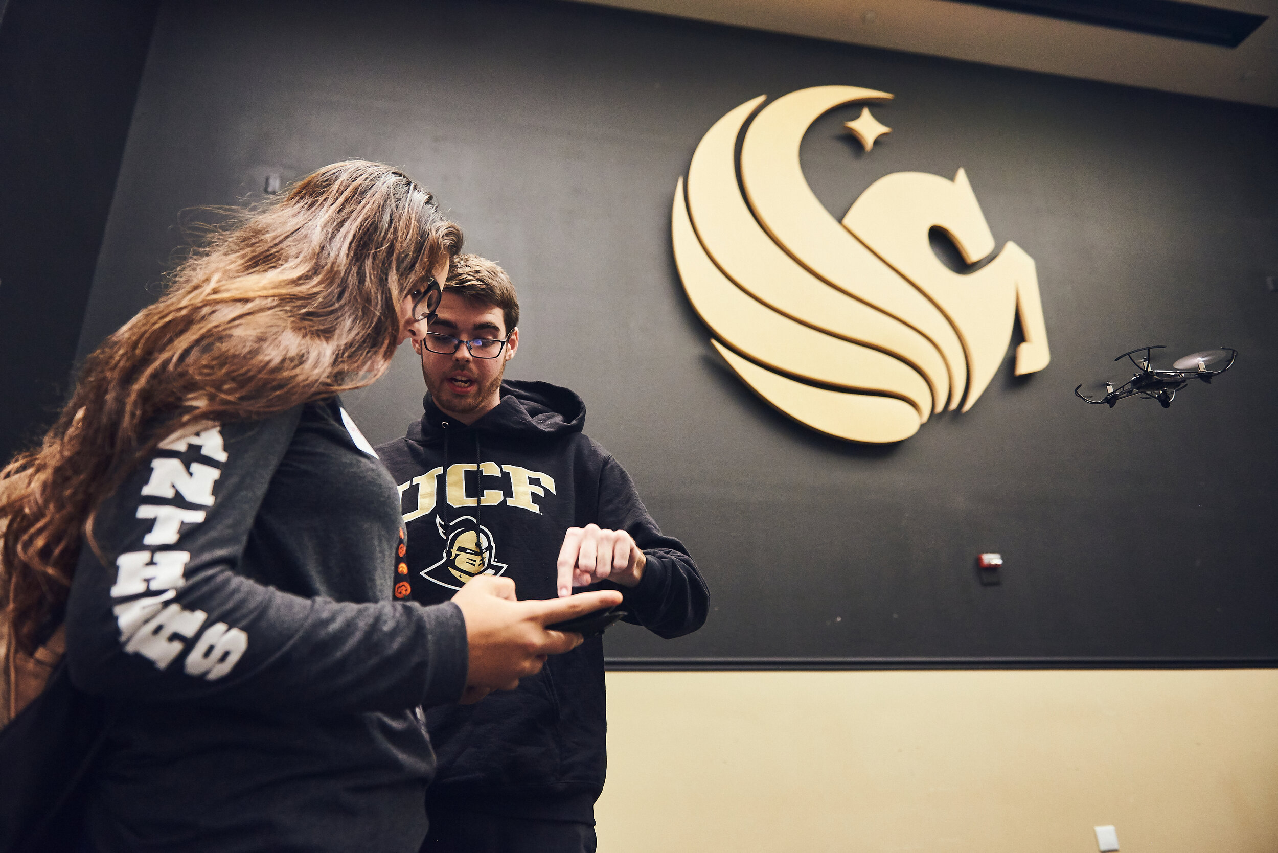
Drone Pilots
Students become mini-drone pilots and have a chance to maneuver their way through an obstacle course of buildings, trees, and over water. A countdown clock times their flight as students realize they must learn to land the drone before the battery runs out while in the field.

Walk the Map
The Florida Giant Map allows students to walk on a National Geographic™ giant 21’ x 17’ map of the state. Through interactive mapping activities, students are introduced to unique perspectives of the state that they live in while garnering skills in spatial thinking.

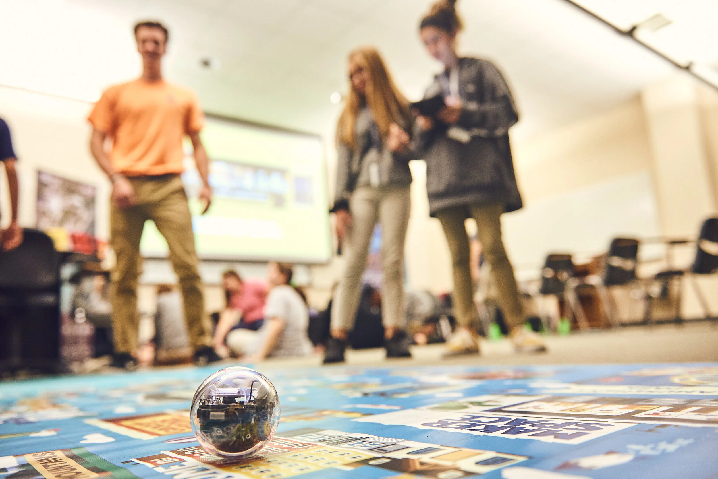
Code a Robot
Students use basic block coding to move a small Sphero™ robot around a floor-size city map. Students are introduced to the concept of coding and learn how it can be utilized in real-world situations.
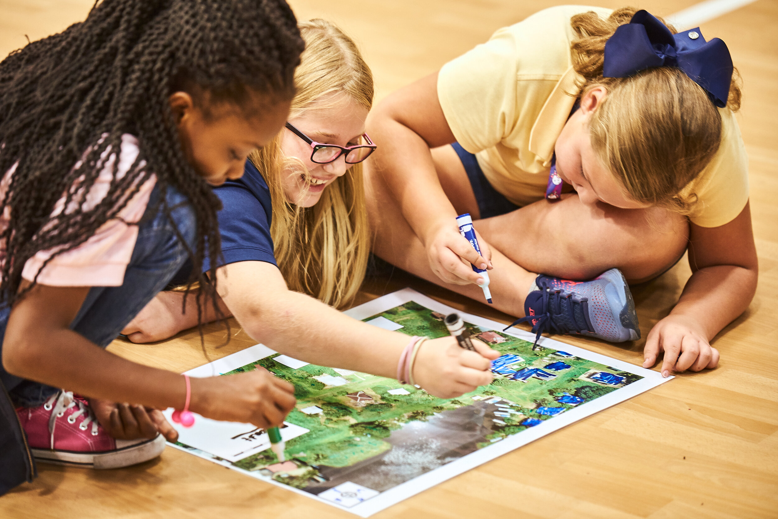
Make your Mark
Students learn about maps using the world’s 2nd largest reef in Belize. They learn the basic elements of map while mapping different structures on the islands. Students use markers to outline/color in the structures and create a legend identifying each feature.
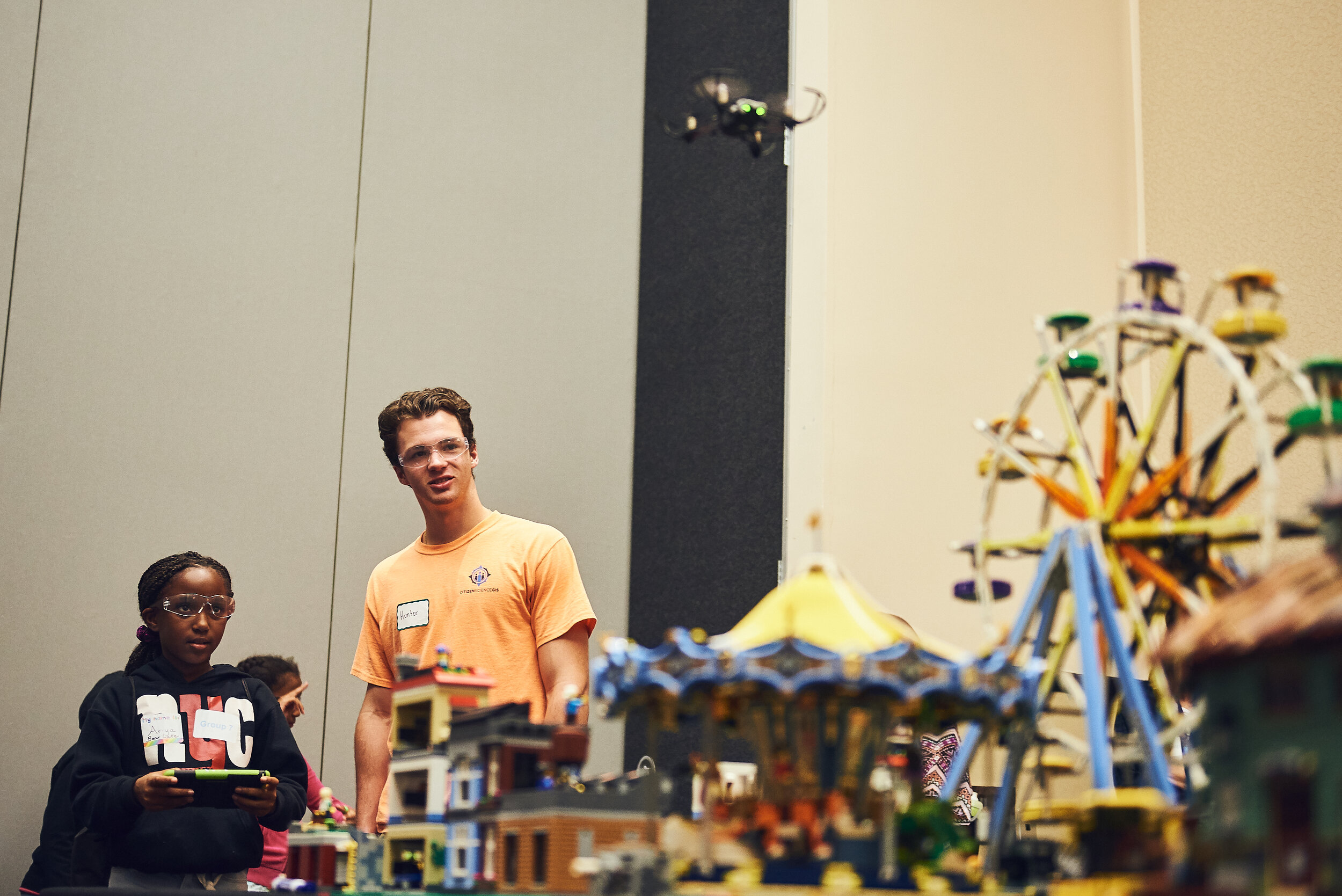
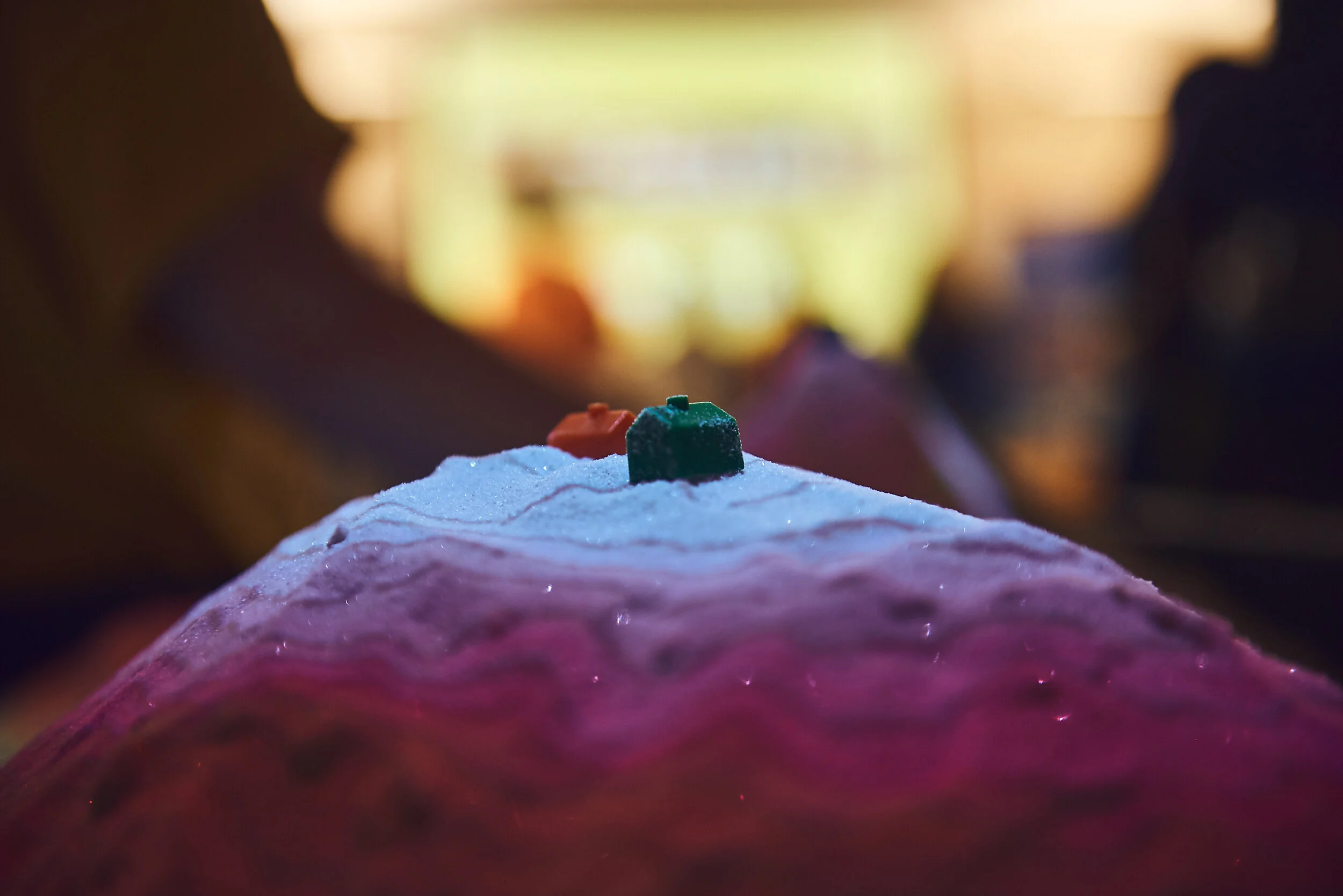
LEGO™ Hurricane Response
Students fly mini-drones over a LEGO™ pre- and post-disaster scene of a coastal community. Afterwards, students compare and contrast the before and after imagery collected from the mini-drones to identify impacts of a coastal disaster to mimic real-world fieldwork.
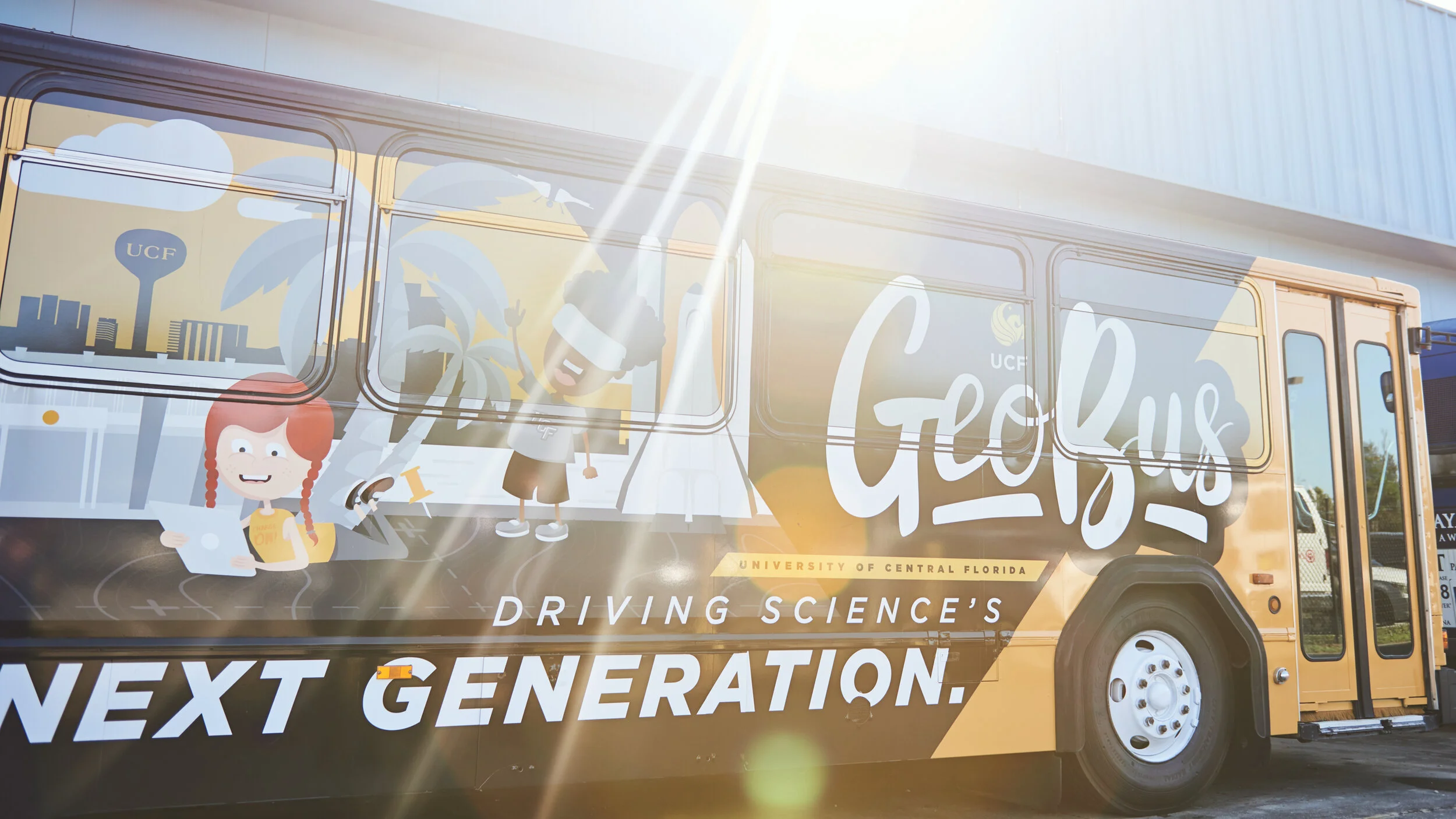
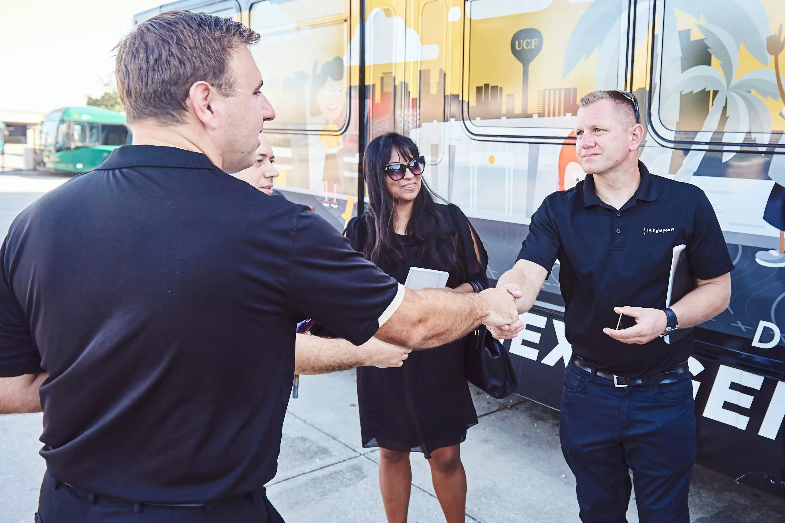
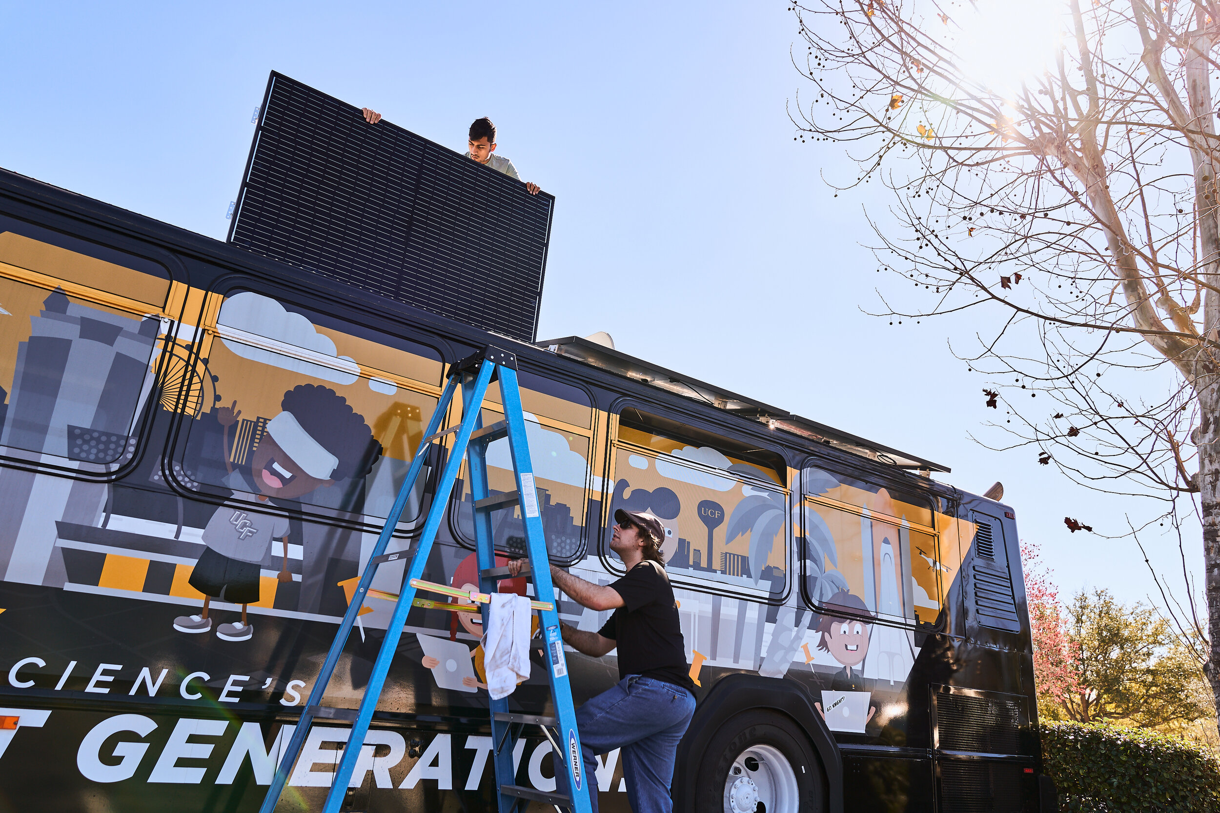
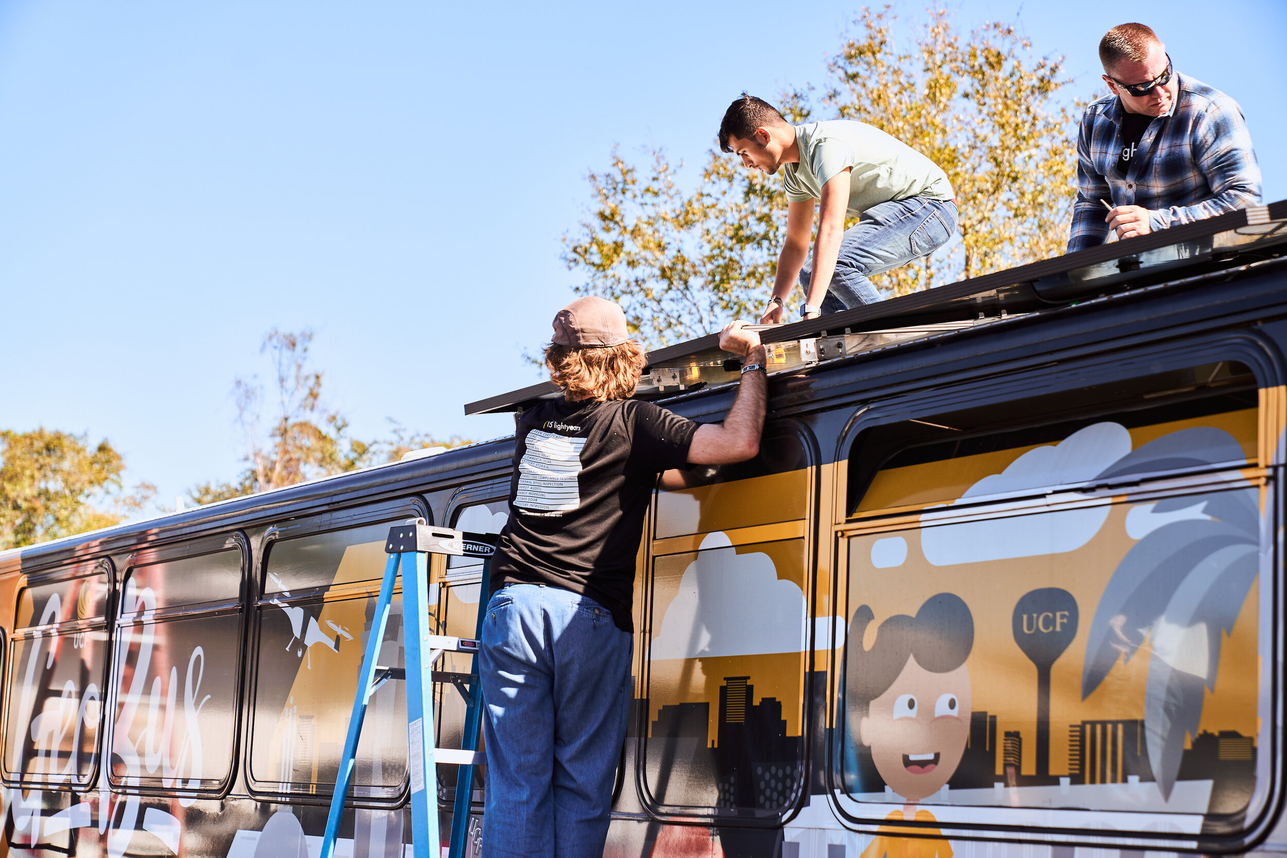
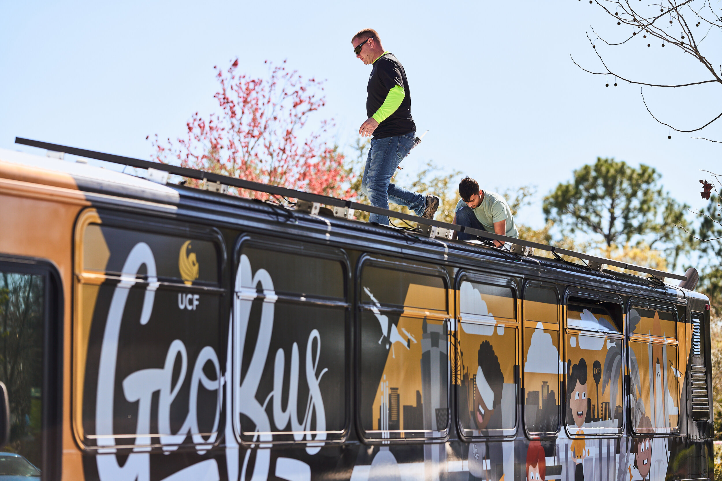
GeoBus™
Driving Science's Next Generation

STEAM Education on Wheels
Launched on 2.21.2022, we’ve built the 1st completely mobile geospatial technology learning lab in the U.S. powered by the sun on a 40 foot repurposed city bus from Lynx that visits Florida K-12 schools.
1st
GeoBus™ in the United States
40’
LYNX repurposed bus with a lab powered by the sun
K-12
Available to all Florida Schools
Why GeoBus™ Matters
The Power of Being 1st
UCF hosts the first GeoBus™ in the U.S. We transport maps, apps, and drones to science’s next generation on a repurposed city bus, with a lab powered by the sun.
We Fill the Gap through Mobile Education
Most K-12 schools do not offer geospatial technology, geography, or mapping experiences to students.
We Support and Stimulate Interest for In-Demand Careers
There is an annual growth rate of 35% in geospatial technology careers*. Yet, K-12 students are often unaware of these careers.
*Source: U.S. Department of Labor
We Provide Access to All
Scheduling priority for Title 1 and high need schools and schools lacking support for science and geospatial technology experiences.
On GeoBus™ science’s next generation steps into a memorable, immersive learning lab with cool STEAM technology tools. And they never leave their school parking lot.

Powered by GeoBus™ Drivers of Change