NSF Smithsonian Drones
Drone mapping eelgrass across 23 degrees of latitude on the Pacific Coast of North America

Team science
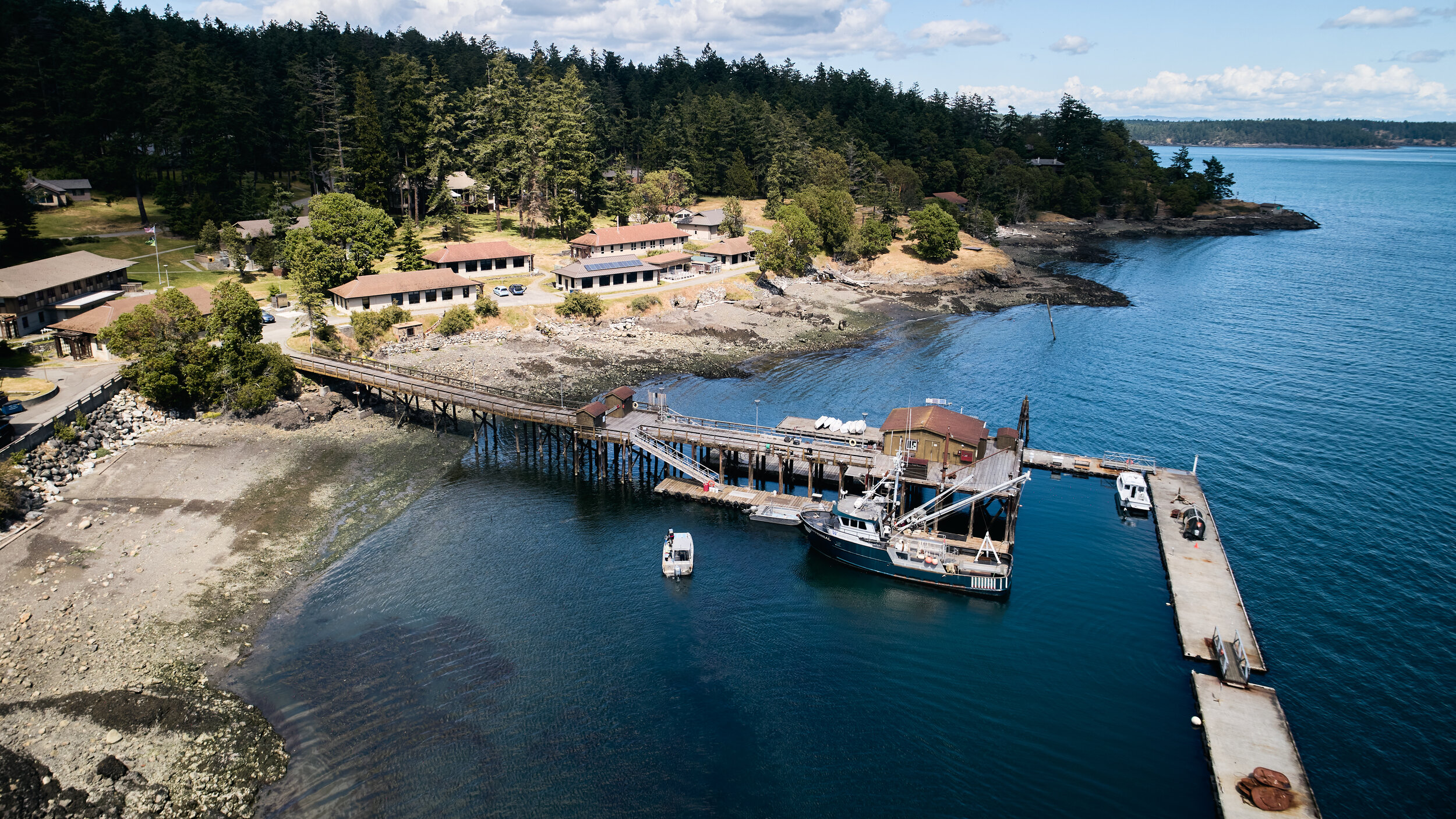
We are part of a $1.3 million grant from the U.S. National Science Foundation led by MarineGeo at the Smithsonian Institution. Together, we work across 23 degrees of latitude with Cornell University, University of California-Davis, San Diego State University, Oregon State University, University of Alaska Fairbanks, and Hakai Institute.

Drone Mapping Eelgrass

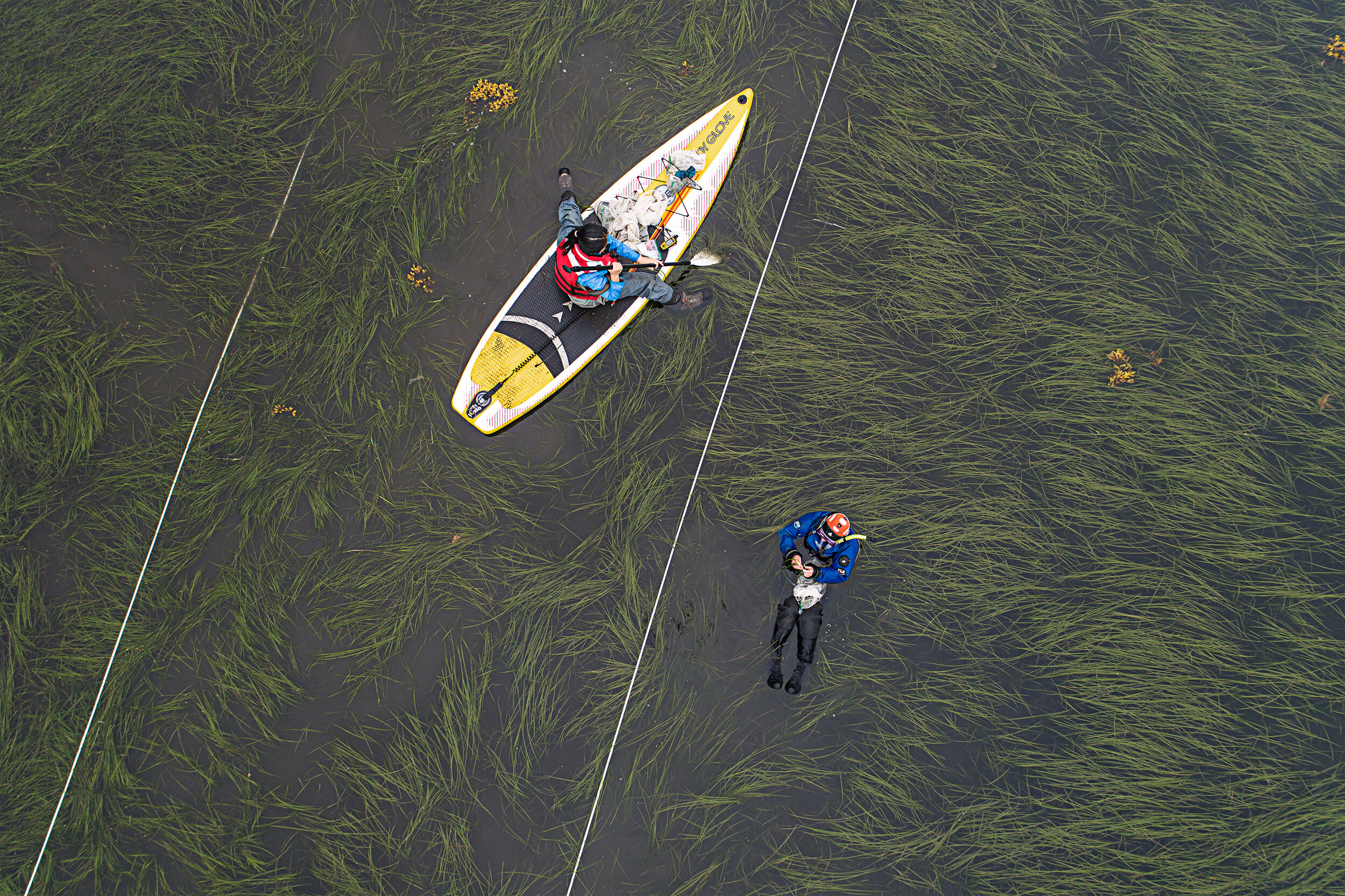
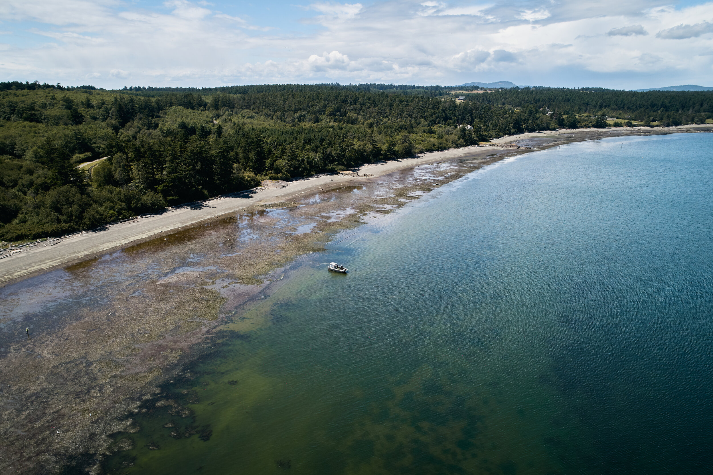
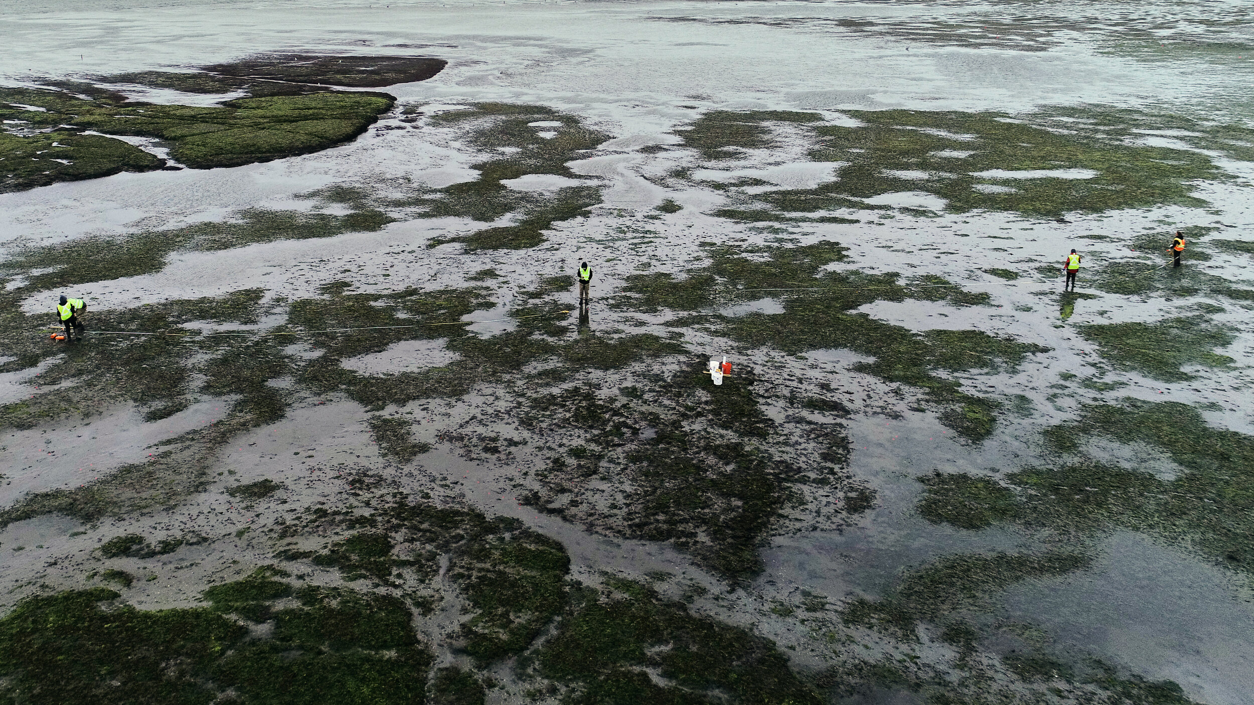
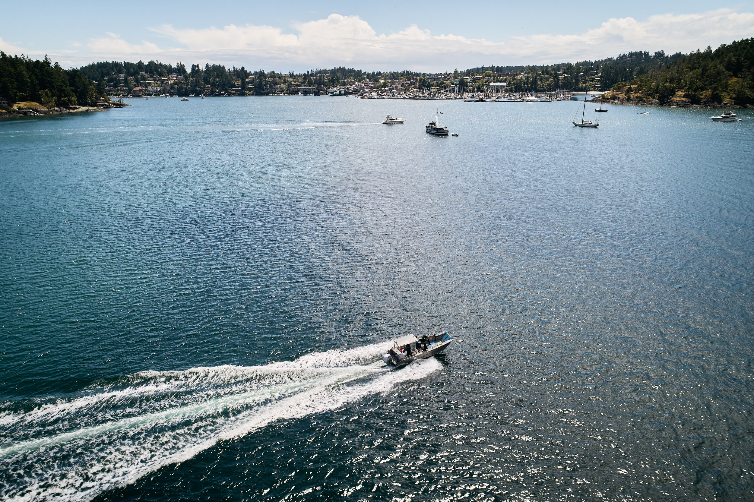
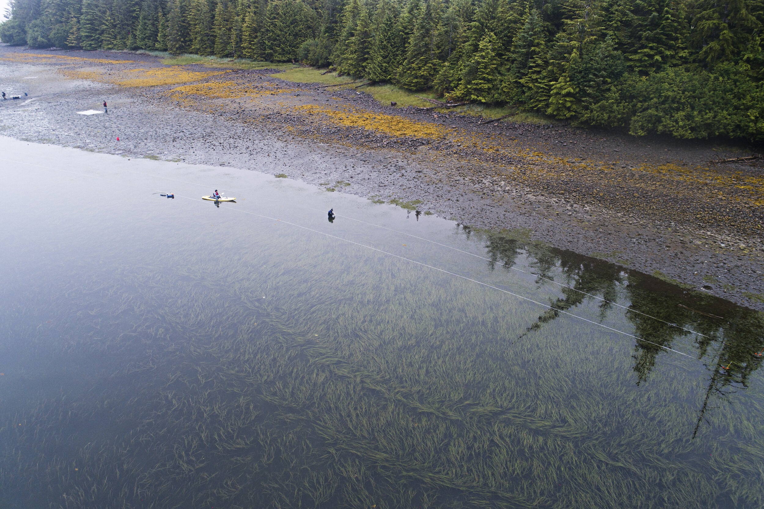
We use Unoccupied Aerial Systems (UAS) or drones to measure eelgrass meadow extent, patchiness, and dynamics through time. Drone imagery is collected annually. We use RGB mapping, multi-spectral mapping, historical satellite imagery, in situ measurements and GIS analyses.
In addition, we train all community partners, as well as citizen scientists, in the use of drones for the research. Our team includes Federal Aviation Administration (FAA) Part 107 drone certified pilots.


Calling all K-12 Teachers
Join us in as part of our NSF Smithsonian drone mapping project through the 2021 school year