NSF eelgrass drone map... Dr. Bo Yang 7/7/20 NSF eelgrass drone map... Dr. Bo Yang 7/7/20 Citizen Science GIS uses remote drone mapping in response to COVID-19 Read More NSF eelgrass drone map..., NSF MarineGEO, Smithsonian MarineGeo Michael Feinman 10/7/19 NSF eelgrass drone map..., NSF MarineGEO, Smithsonian MarineGeo Michael Feinman 10/7/19 Citizen Science GIS Completes Drone Work in Alaska: "The Last Frontier" Read More Citizen Science GIS, drones, Esri, NSF eelgrass drone map..., NSF MarineGEO Dr. Bo Yang 7/25/19 Citizen Science GIS, drones, Esri, NSF eelgrass drone map..., NSF MarineGEO Dr. Bo Yang 7/25/19 UCF drone team finishes the mapping in Southern California with SDSU and Smithsonian Read More NSF eelgrass drone map..., NSF MarineGEO Michael Feinman 7/15/19 NSF eelgrass drone map..., NSF MarineGEO Michael Feinman 7/15/19 UCF Drone Team Finishes Eelgrass Research Alongside UC Davis Read More NSF eelgrass drone map..., NSF MarineGEO, Smithsonian MarineGeo Hunter Searson 7/1/19 NSF eelgrass drone map..., NSF MarineGEO, Smithsonian MarineGeo Hunter Searson 7/1/19 UCF drone team finishes eelgrass mapping with team from Oregon State and Cornell Read More
NSF eelgrass drone map... Dr. Bo Yang 7/7/20 NSF eelgrass drone map... Dr. Bo Yang 7/7/20 Citizen Science GIS uses remote drone mapping in response to COVID-19 Read More
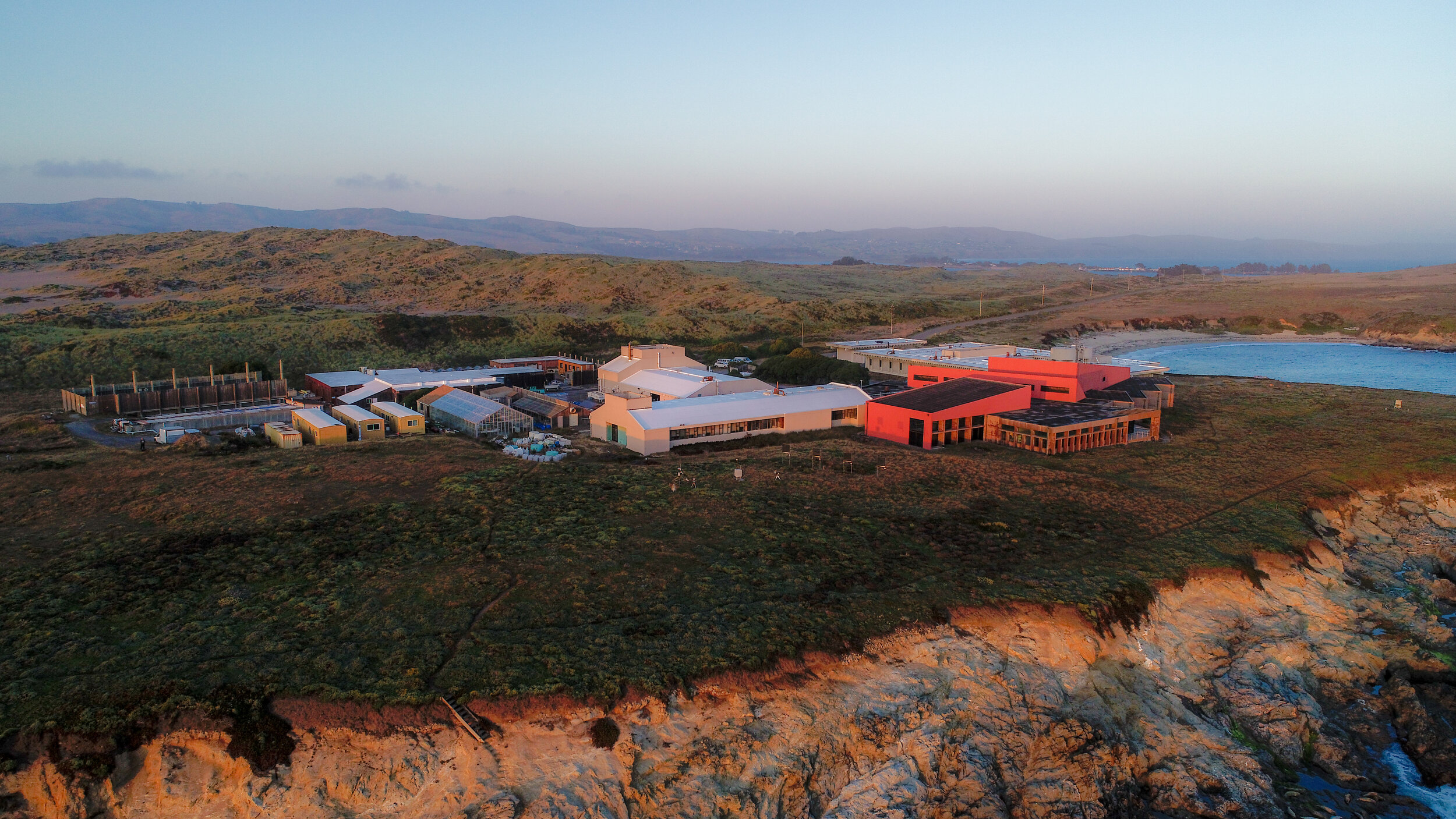
NSF eelgrass drone map..., NSF MarineGEO, Smithsonian MarineGeo Michael Feinman 10/7/19 NSF eelgrass drone map..., NSF MarineGEO, Smithsonian MarineGeo Michael Feinman 10/7/19 Citizen Science GIS Completes Drone Work in Alaska: "The Last Frontier" Read More
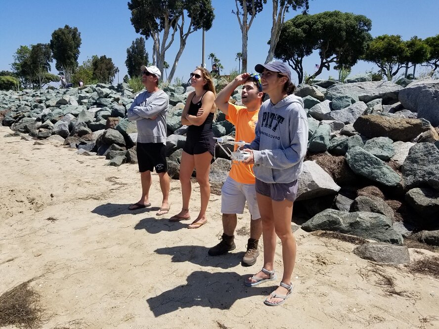
Citizen Science GIS, drones, Esri, NSF eelgrass drone map..., NSF MarineGEO Dr. Bo Yang 7/25/19 Citizen Science GIS, drones, Esri, NSF eelgrass drone map..., NSF MarineGEO Dr. Bo Yang 7/25/19 UCF drone team finishes the mapping in Southern California with SDSU and Smithsonian Read More
NSF eelgrass drone map..., NSF MarineGEO Michael Feinman 7/15/19 NSF eelgrass drone map..., NSF MarineGEO Michael Feinman 7/15/19 UCF Drone Team Finishes Eelgrass Research Alongside UC Davis Read More
NSF eelgrass drone map..., NSF MarineGEO, Smithsonian MarineGeo Hunter Searson 7/1/19 NSF eelgrass drone map..., NSF MarineGEO, Smithsonian MarineGeo Hunter Searson 7/1/19 UCF drone team finishes eelgrass mapping with team from Oregon State and Cornell Read More