
Students Overcome Obstacles at UCF STEM Day
Written by Dr. Hannah Torres, a Postdoctoral Researcher in the Sociology Department at UCF.What do pool noodles, hula hoops and duct tape all share in common? Answer: These were the key ingredients to create the Citizen Science GIS mini-drone obstacle course used during STEM Day at the University of Central Florida. STEM Day at UCF is a free event that provides an array of activities allowing K-12 students to engage with Science, Technology, Engineering and Math in a fun and meaningful way. During STEM Day on March 30, 2018, 112 students from elementary and middle schools across Central Florida (including home-schools) participated in our Geospatial* Avengers session to learn about how maps, apps, and drones can be used in real-life problem-solving. Although there is no doubt that a mini-drone obstacle course sounds fun, one might wonder what it teaches students about STEM. Answer: Tons! Students started by learning about the integral role GIS plays in their daily lives, whether or not they realized. GIS is the driving force behind all things spatial: Google maps (or any maps, really), the GPS in their parents' car, even Pokémon Go! Next, students compared and contrasted drone images to satellite images, to see how drone imagery is often more updated, higher resolution, and less obstructed by cloud cover. Then, we asked students to predict what kinds of obstacles could be an issue when flying drones “in the field” - for example, where we do research in Belize. After they talked about how wind, weather, buildings, and trees could pose challenges during drone flight, we introduced students to the obstacle course, which mimicked the challenging field settings we often deal with in real life.
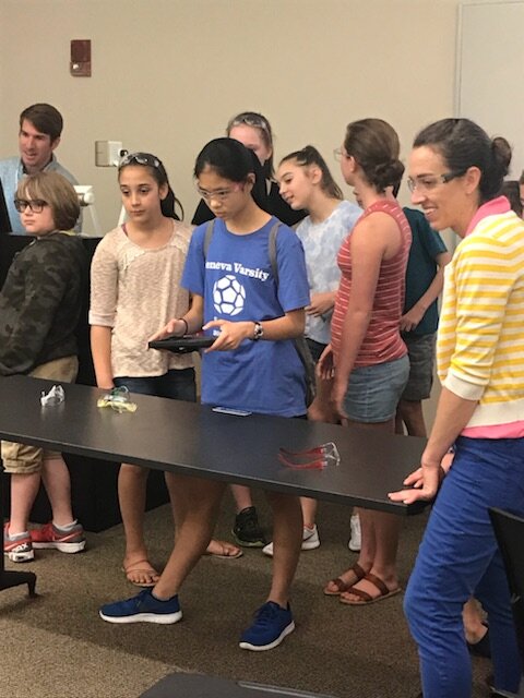 Of course, the excitement really took off from there. Every single student had a chance to fly – and some parents and teachers, too! Students of all ages and experience levels piloted the drone, swooping under pool noodle arches, navigating through hula hoops, and carefully landing on a duct tape “X” at the opposite end of the room. As they wrapped up their educational adventure, Dr. Tim Hawthorne shared a sneak preview of some of the upcoming projects Citizen Science GIS plans to hit the road with soon. Keep an eye on our website and social media to stay up-to-date on the exciting things we've got rolling out!*Fun Fact: Geographic is what the “G” stands for in GIS. Do you know what the “I” and “S” stand for?