
Open Reef Returns to Belize, offers drone training, and is featured on Belize national morning show
January 18, 2018Written by Nick Altizer, UCF Sociology Graduate StudentLast week the Citizen Science GIS Open Reef team set sail for another round of drone mapping in the Belize Barrier Reef. Our presence and work were quickly picked up by Open Your Eyes, a national TV program based in Belize City. The showcase allowed Dr. Timothy Hawthorne, Nicholas Altizer, and Lain Graham to discuss the purpose of our work in Belize and how the data is being used to benefit not only the reef but also the island inhabitants. Our work continually integrates citizen science with drone mapping applications to bolster community input and outcomes. Discussing these themes in a televised setting allows us to reach a broader range of people which ultimately increases Open Reef awareness and importance.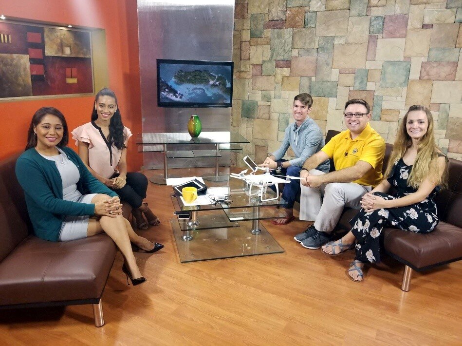
Nicholas Altizer, Dr. Timothy Hawthorne, and Lain Graham are guests on Open Your Eyes in Belize.
On Wednesday, we initiated a training workshop with our partners at Coastal Zone Management Institute and Authority to train other local organizations on the applications of drones within an island setting. The training was attended by representatives from Civil Aviation, World Wildlife Fund, Port Authority, and several others; all eager to learn more about the Open Reef process and how they can participate in the award-winning research. After some in-office presentations and discussions, we set off to a local park for attendees to get a better understanding of how we conduct our research.
Nicholas Altizer, Lain Graham, and Christine Munisteri demonstrate how to operate a drone.
This trip was different from previous ones as the Open Reef team had a little scare Tuesday night from a tsunami warning due to a 7.8 earthquake off the coast of Honduras. Thankfully the warning was lifted the same night and everything was clear for us to conduct fieldwork the following days. On Thursday and Friday morning we stepped aboard our vessel and set out into the vast ocean landscape to collect imagery for several islands in the Belize Central Region. While in the field, we encountered Mark, an island keeper on Caribbean Paradise (aptly named), who told us more about his experience with the earthquake and how he faired when Hurricane Earl ripped through Belize in August 2016. The encounter was a great opportunity for Open Reef to learn more about the changes occurring to the islands and surrounding seascape from someone who has witnessed those changes over the past few years.
A beautiful afternoon at Caribbean Paradise.
Stayed tuned as we will have the imagery from this trip processed and made available in the next week!