
Open Reef Imagery Update
Dear Open Reef fans,A friendly reminder that our website is in transition and that we plan a massive relaunch later this August. As we’ve noted in past blog and Facebook posts, for those searching for previous Open Reef imagery (like the awesome imagery below), please go to ArcGIS Online at: http://www.arcgis.com/index.html and then use the search term “Open Reef”. All imagery and related geospatial data will appear in the search. Note that our imagery is authored by the OpenReef1 account. All other accounts are not our data.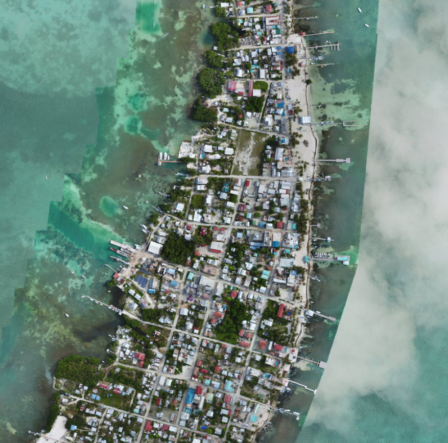 For the imagery and GIS data we have been collecting this past July in Belize, please note that our goal is to have that imagery and data up on our new open data mapping site by late August/early September.Thank you for the patience as we re-organize items on our site to make our data even more accessible. Thanks,Tim HawthorneFounding Research Director of Citizen Science GIS