
Maps, Apps, & Drones Tour Live at Jackson Heights Middle STEAM Night
We had an awesome time at Jackson Heights Middle School on November 20th for their STEAM Night, which hosted nearly 450 students. We got the privilege of working alongside countless other UCF organizations dedicated to the growth of the next generation.
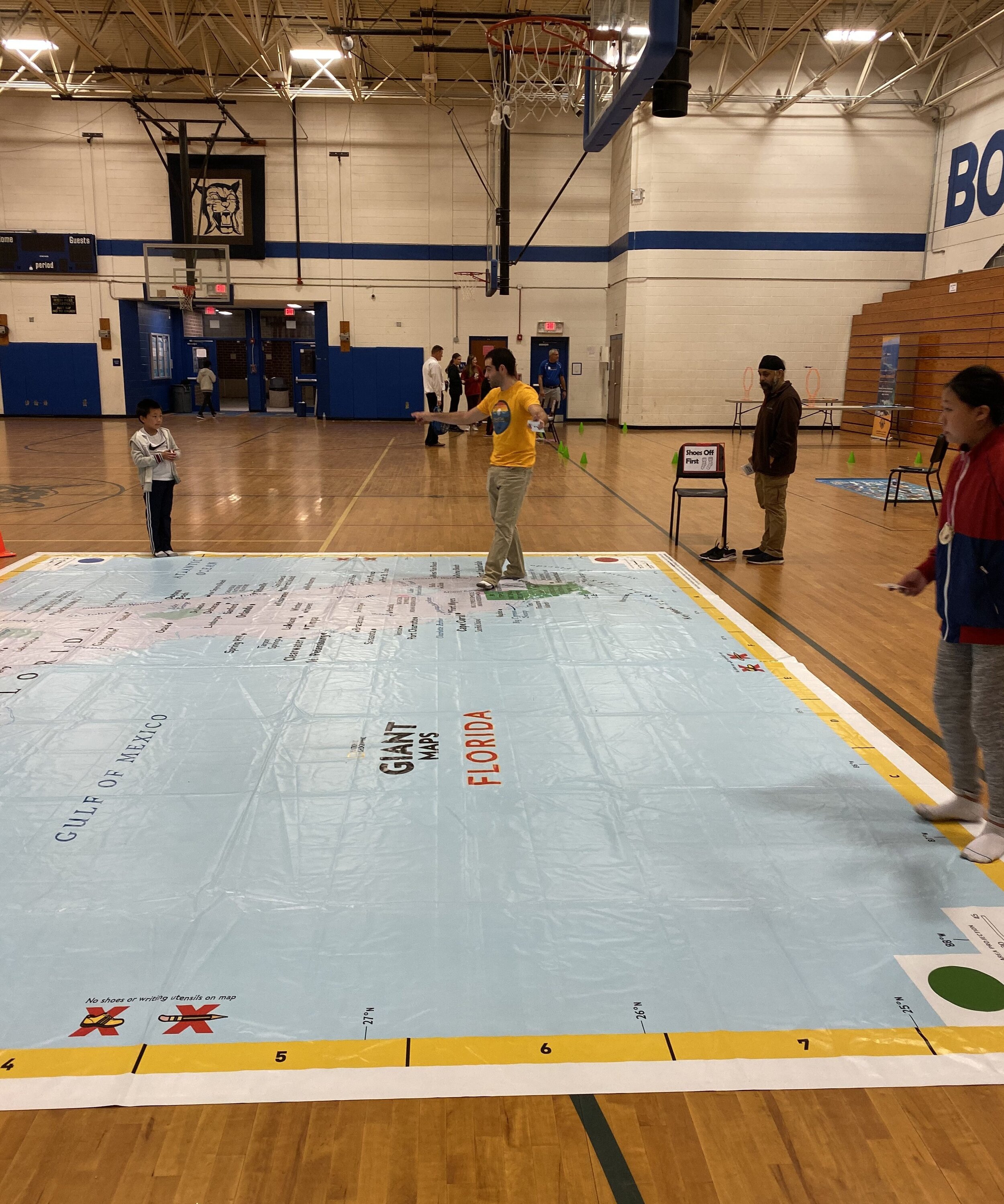
Multiple teachers mentioned their excitement for the upcoming GeoBus, as well as for the kids to interact with our giant Nat Geo Florida map. The other activities students were able to participate in were the drone flight obstacle course and Sphero coding mat, where a few of the older students got to try out the block coding activities.
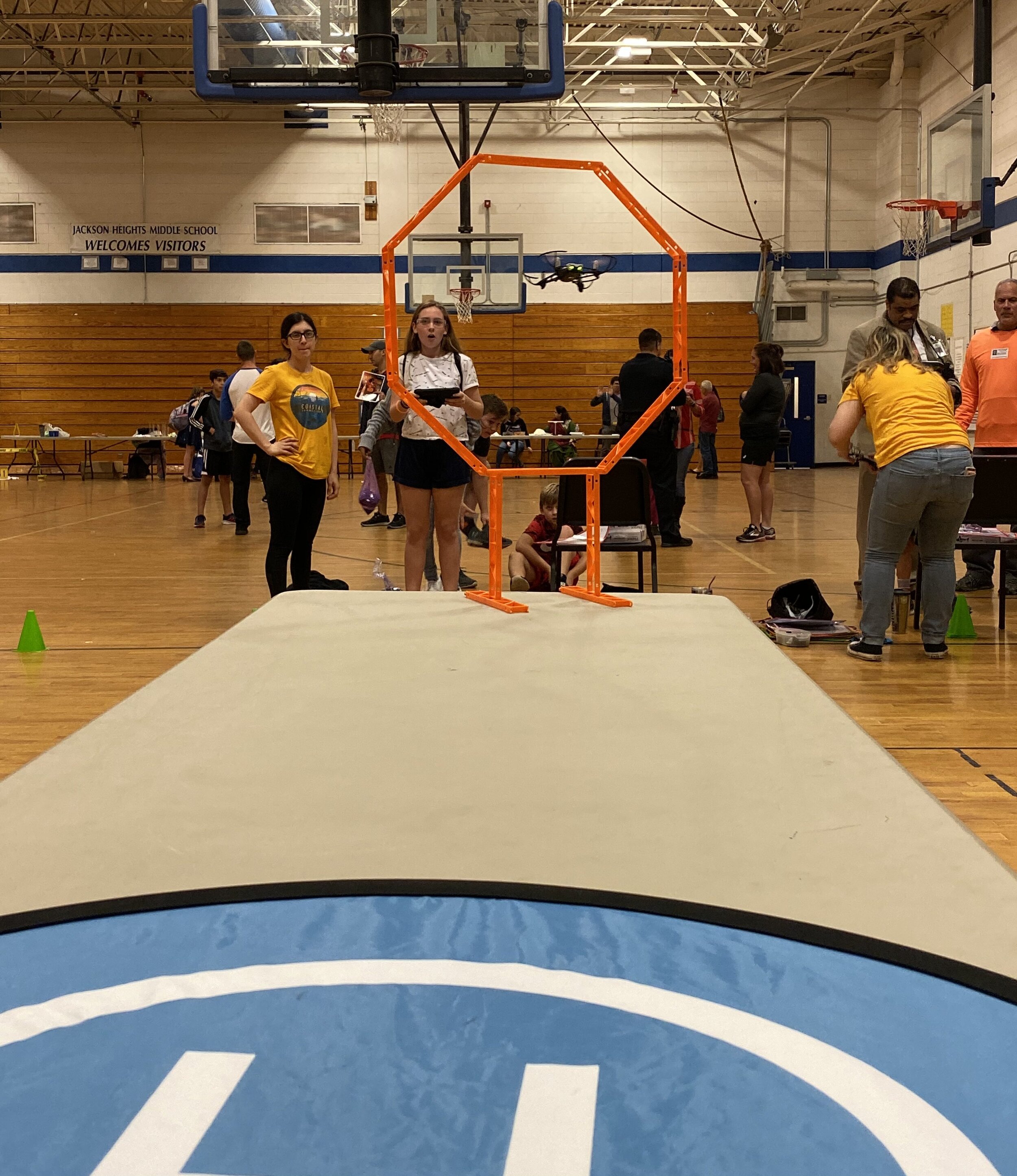
Throughout the event, students were able to sporadically visit our stations, and while they went through our activities, we told them a little bit about why it's important to fly drones, learn coding, and find coordinates on a huge map. Learning to fly drones is an essential asset for collecting important data like what we do in the field. Learning the first steps to coding and playing games with the Sphero where you need to find your way around the city helps kids to apply GIS to real life situations. Also, kicking off your sneaks and using latitude and longitude to locate cities on a map, and using the legend to locate Florida swamp lands is a great way to show students the importance of map making. We were also able to explain to some of the parents the what, when, and where of our organization and how we actually use GIS in our other projects.
If you love what we do as much as we do, fly along with us on our Maps, Apps, and Drones tour, along with our other projects, by following us on social media: Twitter, Facebook, Instagram, LinkedIn