
Mapping with a Mission: The Citizen Science GIS Team Returns to Hopkins, Belize

Mapping with a Mission: The Citizen Science GIS Team Returns to Hopkins, Belize.Written by, Lain Graham, University of Central Florida Sociology PhD student and NSF REU Senior Research Coordinator.Hopkins, Belize is paradise in any season, but visiting in the crisp fall after spending the hot summer months there reinforced our love for this culturally rich, friendly and inviting coastal village. In October 2016 select members from the University of Central Florida’s (UCF) NSF REU team returned to Hopkins to follow-up on our summer field season which ran from June 26th until July 27th. The returning team was lead by Lain Graham, UFC Sociology PhD student who was the Senior Research Coordinator for the REU, and returning scholars, Caleb Ball, a junior from the Ohio State University representing the marine debris mapping track; and Amanda Ashby, a UCF senior from the flooding and disaster management track. Our PI, Dr. Tim Hawthorne, Assistant Professor of GIS in UCF’s Sociology Department and University of Belize alumni Robert Hernandez joined us for part of the time as well. Our team was tasked with three primary objectives; 1) to update flooding hot spot and culvert data from our summer mapping projects, 2) to train community members and local collaborators on marine data collection using the ArcCollector application, and finally 3) to continue networking and perception mapping with Hopkins community members.
 Our team hit the ground running; we landed in Belize City on the October 27th and immediately went to Belmopan for a meeting at the US Embassy. The meeting was comprised of national NGOs, Belizean government agencies and US embassy officials. This round table discussion served two key purposes: it included diverse national and international organizations in the conversation about our research and it provided an introduction to our NSF REU mapping project in Hopkins as well as our new Open Reef Mapping Society project. We gained valuable information about local environmental and logistical concerns and learned how we could be more effective international partners. Both the Hopkins NSF REU and Open Reef projects were met with interest and enthusiasm, we left inspired and full of hope for future collaboration.
 Following up with the community of Hopkins after conducting research is not only critical to building and reinforcing rapport, it facilitates a conversation with the local community about our work and it allows us to gauge perceptions and address concerns to guide our future directions. 2016 was the first of our three year NSF REU program and we want to ensure that we keep an open dialogue with the community. We were able to schedule data collection training sessions and meetings with people that were unavailable during the summer. We met with Hopkins Holy Family R.C. Primary School and many local business owners and employees that we had not previously established a rapport with. We also checked in with many of our existing collaborators, the Hopkins Library, Hamanasi Resort and members of the Village Council. This relaxed environment allowed us to engage in rich discussion and conduct perception mapping and informal interviews with the community.[video width="1280" height="720" mp4="http://www.citizensciencegis.org/wp-content/uploads/2016/11/Hamanasi20Drone20video20mp4.mp4"][/video]The Hamanasi grounds crew and the REU team in action during a training session on marine debris data collection; taken from our DJI Phantom IV drone.
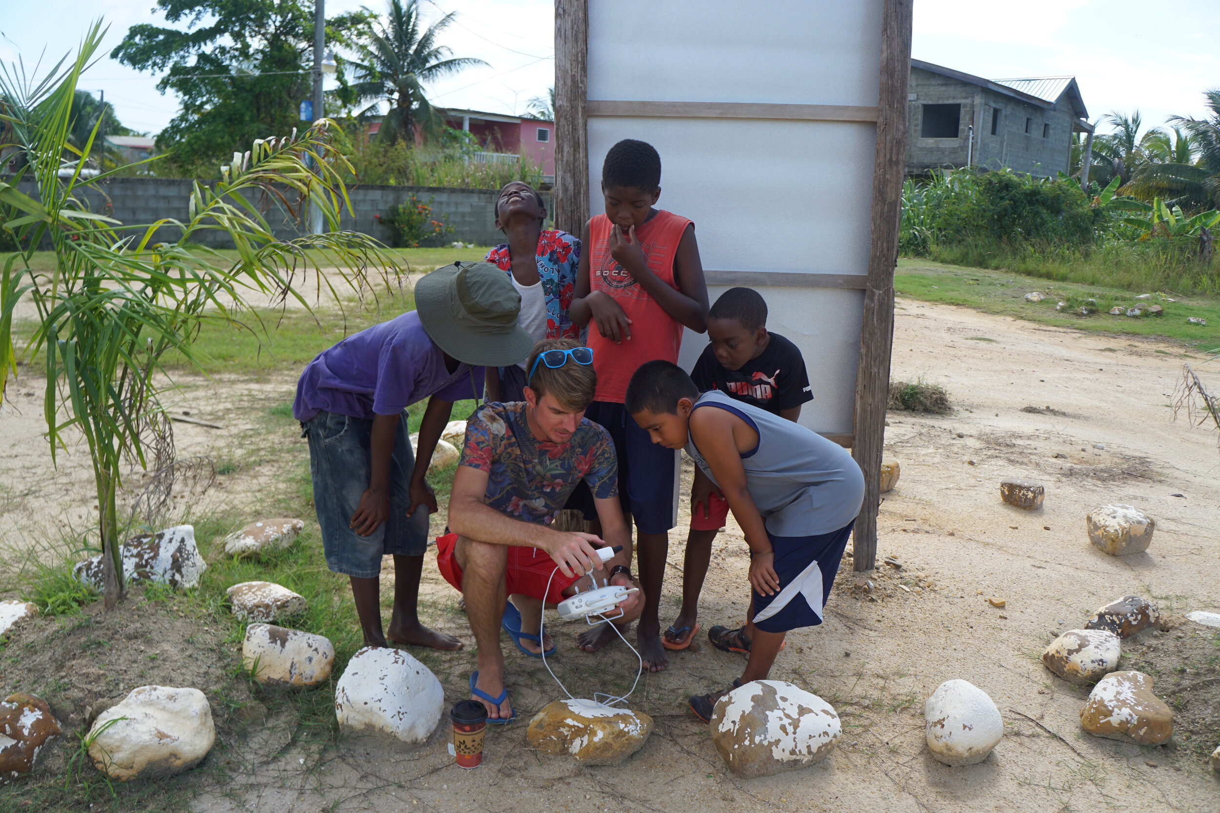
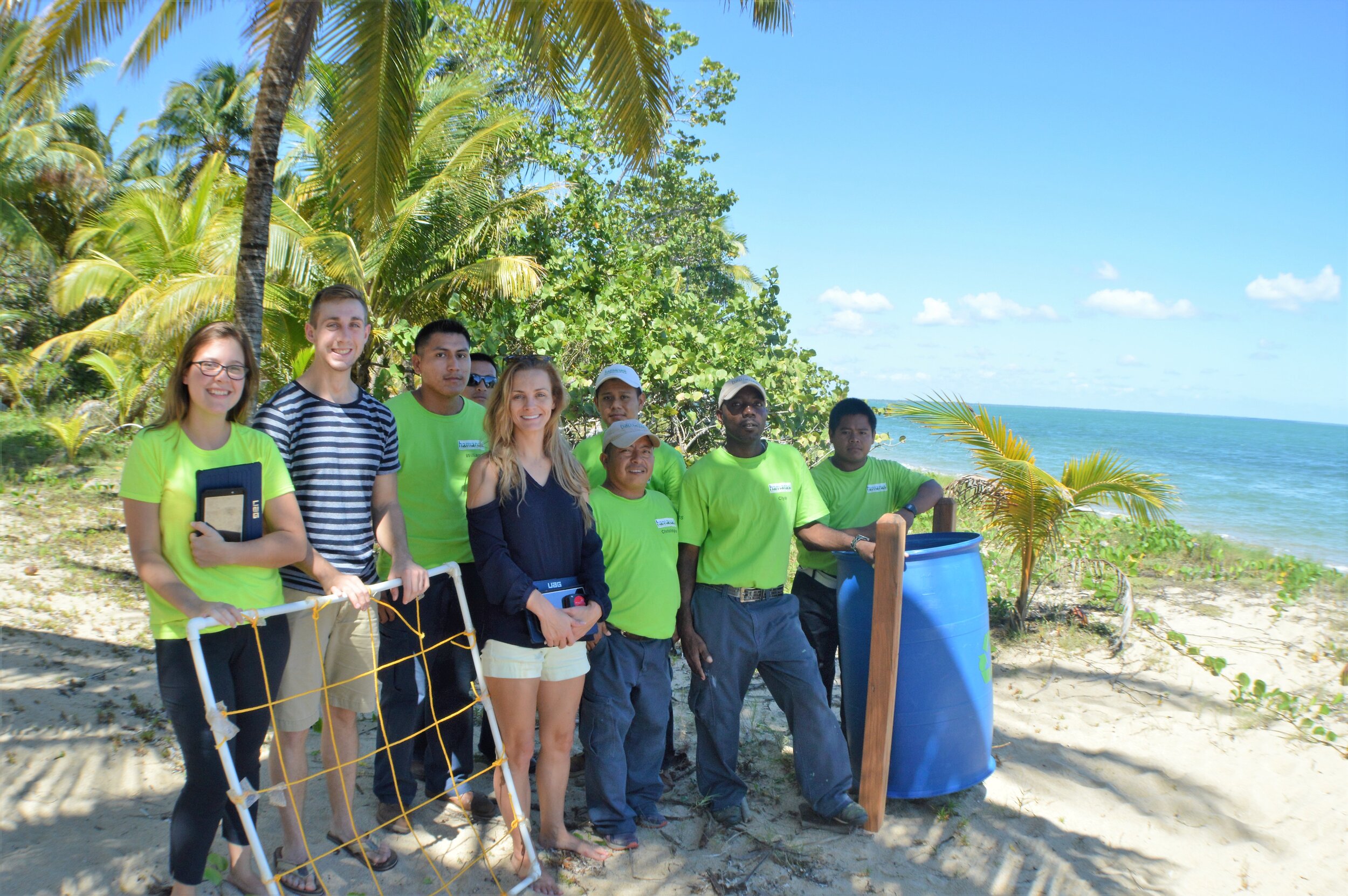 Our second day was arguably the best day because it was all about the youth! Several kids from Hopkins religiously came out to collect data with us over the summer; it was great to be able to reward these junior citizen scientists with an educational experience mapping the islands with the Open Reef Society. Our teams along with Hopkins Village council members took five local kids out to the cayes to collect drone imagery. This was not just a fun day on the islands, it was meant to foster environmental stewardship while teaching them about GIS applications.
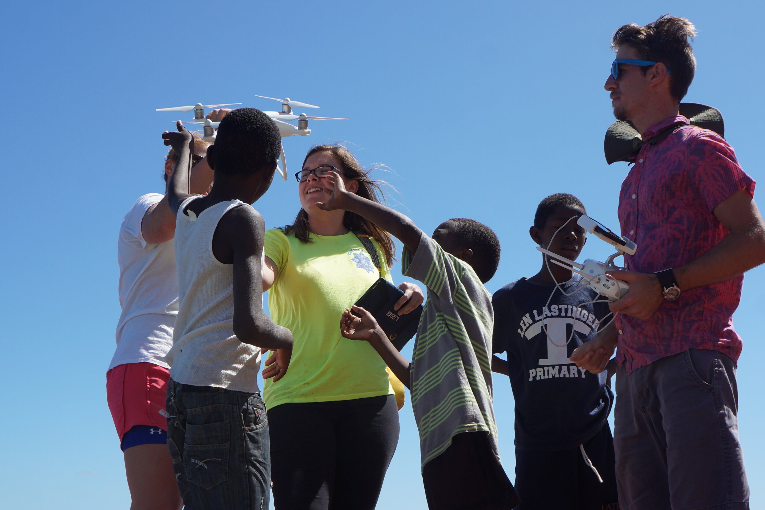
 Hopkins residents have been forthcoming with concerns in their community that they would like us to help quantify. The main focus has been the identification of priority areas for the management of marine debris along the coast and flooding hot spots and standing pools of water inland. Of the seven days that we were in Hopkins, it rained four of those days, this allowed us to assess drainage issues, standing pools of water and the flow of the culverts on the east side of the village. We also revisited the areas that we had mapped over the summer, updating their present condition. This included mapping new marine debris hot spots and updated reduced or removed piles along the three mile stretch of Hopkins’ beach using the ArcCollector application.
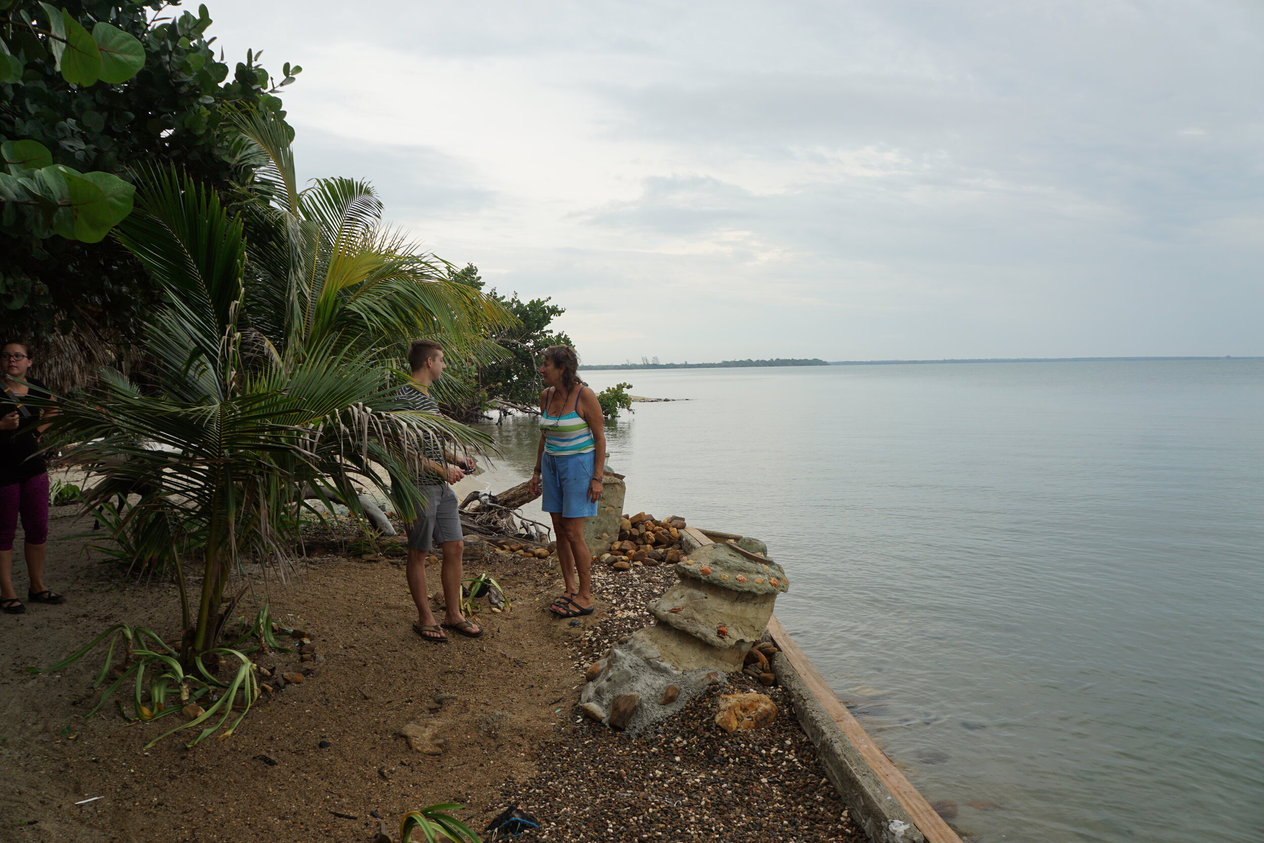 For the flooding and disaster management mapping project we updated the condition of the roads, noting areas of poor drainage or standing pools of water and we updated the condition of culverts. Overall, we noticed a slight increase in the amount of debris along the coast, but a significant reduction in the amount of sargassum (seagrass). Inland we noted the conditions of the culverts and roads had not improved and the condition of several of the culverts had worsened inhibiting the flow of water. We were surprised that hurricane Earl (which hit Belize August 5th) did not do more damage, local residents were relieved but did note an excessive amount of foreign debris coming ashore as a result of the storm.
 Our return trip was rewarding and productive and we are energized for the second year of the NSF REU Site! We have a lot of new data and community feedback to inform our future directions. In addition to the research goals of the REU site, and through other resources we are particularly interested in seeing how we can better engage the local youth in GIS training initiatives. We were delighted to be guest speakers at the first Hopkins youth EcoClub meeting (pictured above) and we hope to continue to be involved in amazing local programs like one that nurture children’s interest in the environment, GIS and computer science so that the next generation of GIS professionals and environmental stewards can be home grown.