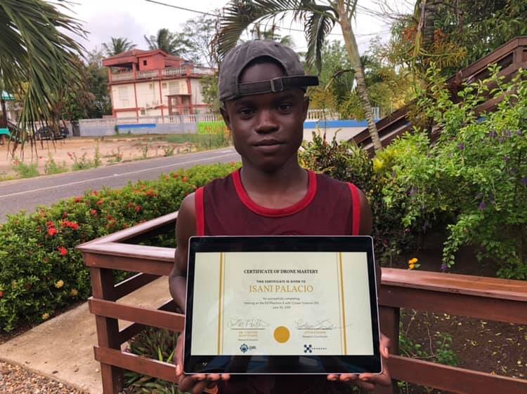
Isani Palacio of Hopkins Village, Drone Field Assistant
We are proud to welcome Isani Palacio of Hopkins Village as a drone field assistant for our Citizen Science GIS and Open Reef work in Belize. He is now competent in all aspects of the DJI Phantom 4 drone mapping process to support his village. Below, he shares some of his thoughts on what drones mean to him and to his village.

“I am 16 year old Isani Audrick Palacio from Hopkins VillageStann Creek District, Belize. For the past 3 years I’ve been apart of CitizenScience GIS. I have learnt a lot about map areas, basic calibration before flights,the packaging of the drone’s parts, the take off and catching of the drone andmore. Besides the educational experience, I have enjoyed the trips that we’ve madeto South Water Marine Reserve, Carrie Bow, Bread and Butter and other tinyislands nearby.
My village Hopkins is fast growing. The introduction of thedrones can make it easier for us to compare development and climate change withpast and current years. Drones can also be used as alert systems for warningvillagers of wild fires and floods that are threatening the village. I think itwould be great to capture aerial footage of the village and its beach to showthe beauty for tourism. Lastly, it’s been a great experience learning withCitizen Science GIS so far and I am looking forward to the years lying ahead.”-Isani Audrick Palacio, June 2019
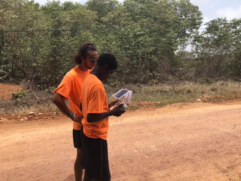
We welcome Isani as a drone field assistant working with ourteam and Hopkins Uncut in Belize. He has served on the Citizen Science GISJuniors team for the past few years.