
Engineering Night at Milwee Middle School- A Maps, Apps and Drones Tour Stop
Written by Undergraduates Patricia Bencivenga (Sociology Major), Sara Peluso (Environmental Major), and Amber Rutstein (Environmental Major)On April 26th, the Citizen Science GIS team took the Maps, Apps and Drones Tour to Milwee Middle School for Engineering Night. This tour stop was special because we had the pleasure of working with 200 students and their families! This tour stop was more unstructured than our typical events, as students were able to walk around on their own time.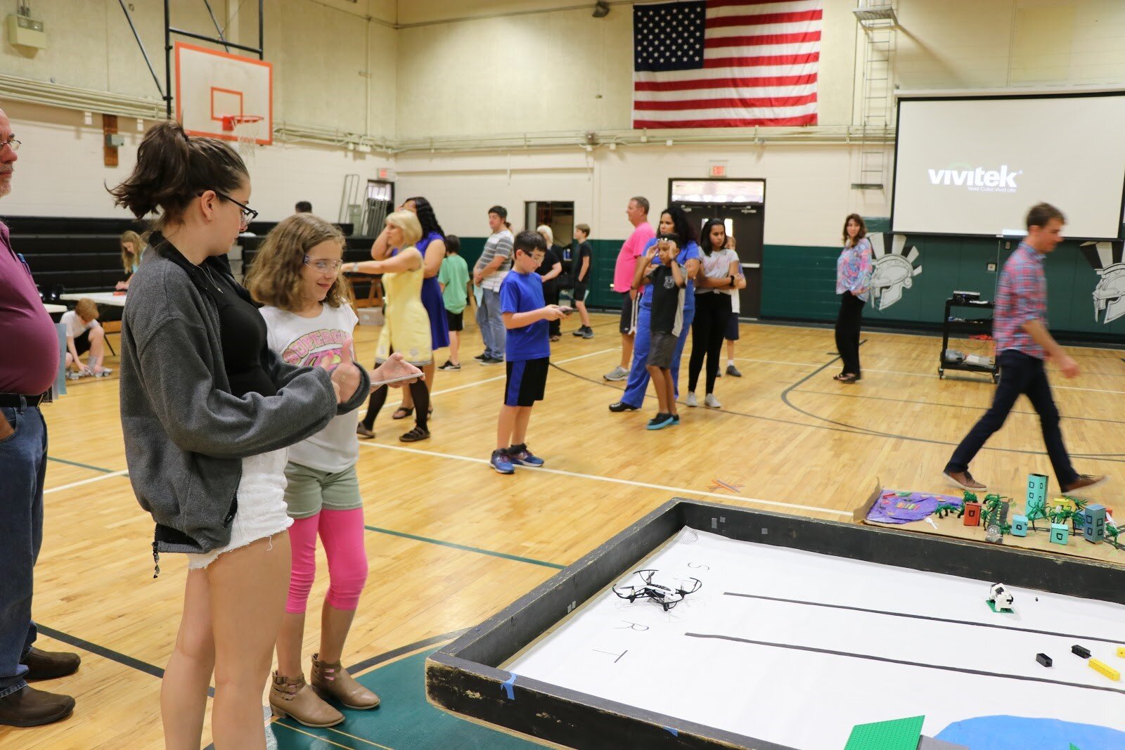 Prospective students of the school walked around the school, looking at different exhibits to stimulate the students’ interest in the school and science. One of the exhibits was our Maps, Apps, and Drones tour. When the students and their parents walked into the gymnasium, we happily greeted them and asked if they would like to fly a drone. Most kids were extremely eager to give it a try! Others said no, but after watching others try it they then decided to.
 The students were able to fly the drones in all directions and were encouraged to change their elevations, so the pictures of the models could be taken at different angles. We stressed the importance of understanding how flying the drone at a high elevation can take all the images faster, but flying at the lower elevations can give better detail. The students were able to use this information to make their own choices as to how high or low they wished to fly the drone.
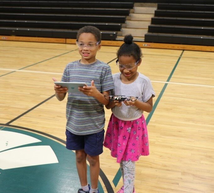 Engineering Night was a truly great experience because we were able to speak to the students one on one and have great conversations about what we do with our research, as what the students know about drones and GIS. The students were particularly interested in our work in Belize. Many of the students had questions about how we fly drones over water, asking us how we catch the drones or what happens if the drone’s battery dies.
 It was evident that most of the students had used a drone before because their flying skills were impeccable. So many students were able to tell us how to use the controls before we explained them to them, and plenty of them were able to land the drone perfectly on the landing mark! As it turned out many of them actually own their own drones. We asked them what they usually use their drones for, some of the responses included “spying on siblings” and “bird watching.” One student who was already a student at the school, who was also involved with setting up the event, showed us preprogrammed tricks the drones could do, like flipping! It was an amazing experience to interact with such smart children who were truly interested in our work!